Batangas–Quezon Road
![]() | ||||
---|---|---|---|---|
Old welcome arch of San Antonio, Quezon along the highway. | ||||
Route information | ||||
Maintained by the Department of Public Works and Highways | ||||
Length | 39.81 km[1] (24.74 mi) | |||
Component highways | ![]() ![]() | |||
Major junctions | ||||
West end | ![]() | |||
| ||||
East end | ![]() | |||
Location | ||||
Country | Philippines | |||
Provinces | ||||
Major cities | Batangas City | |||
Towns | ||||
Highway system | ||||
| ||||
|
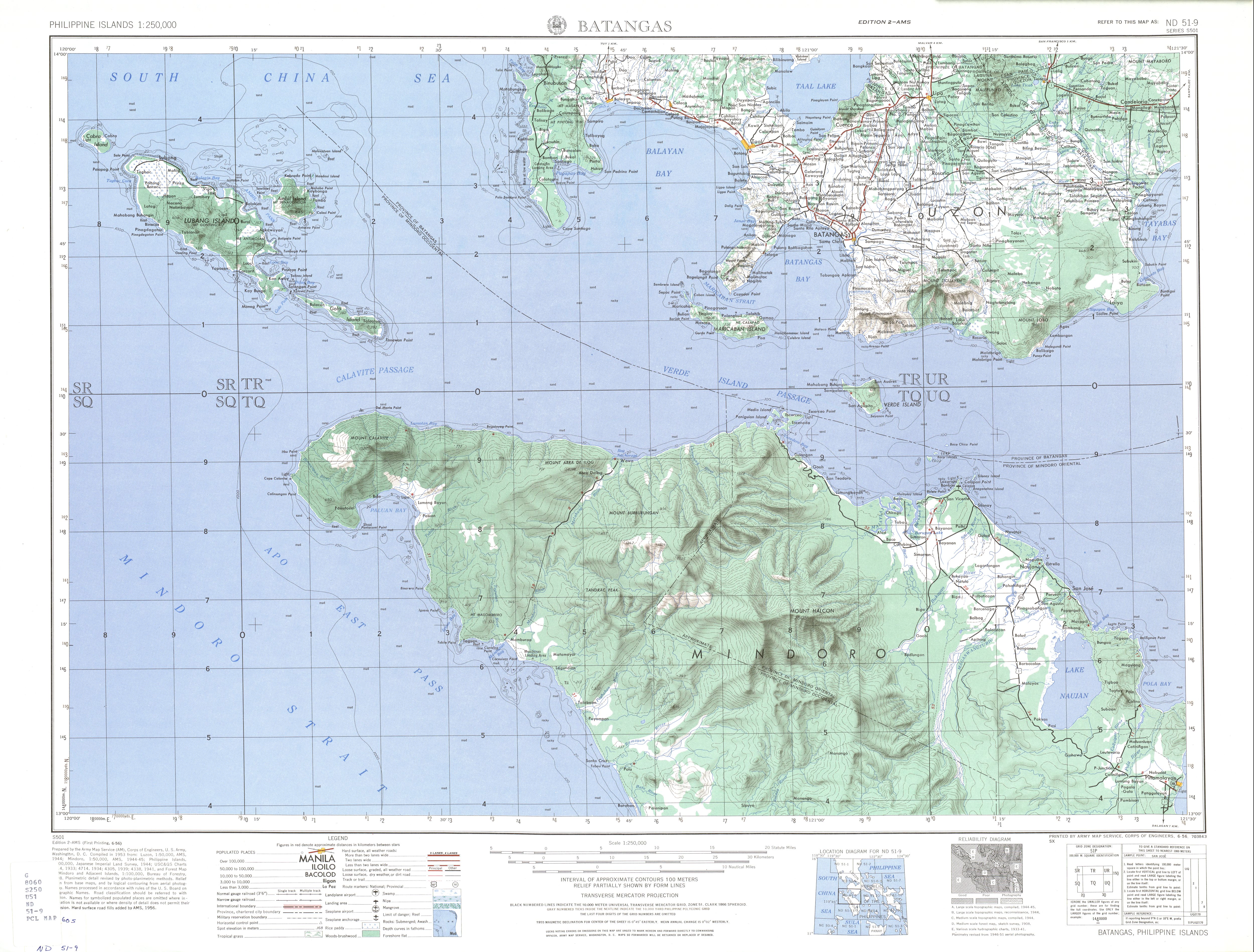
National Route 435 (N435), also known the Batangas–Quezon Road is a 39.81-kilometer (24.74 mi),[2][3][4] two-to-four lane, secondary national road in the provinces of Batangas and Quezon in the Philippines that forms part of the Philippine highway network.
Route description
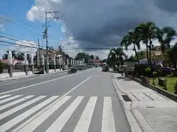
The route starts at the junction with President Jose P. Laurel Highway in Batangas City, just south of the STAR Tollway terminus. The road crosses Tinga River and meets with Pinamucan Bypass Road where a future exit of the STAR Tollway is being constructed. It continues to Ibaan, passing two triangle junctions in the town proper as J.P. Rizal Street and J. Pastor Street, respectively, and turns east onto the segment alternatively known as Pangao Road or Rosario–Ibaan Road towards Rosario. At the Rosario Junction in the town proper, the route continues north from the junction briefly as Carandang Street to the town of Padre Garcia, where it forms a triangle and intersects with Lipa–Rosario Road. From there, it turns east and assumes the alternative name of Tiaong–Lipa Road. It then enters the province of Quezon at the town of San Antonio, proceeding to Tiaong. In the Tiaong town proper, it becomes locally known as Recto Street and ends at the Pan-Philippine Highway (Don V. Robles Avenue). Beyond this point, it continues as an unnumbered road also called Recto Street.[1]
History
The road was also designated as Highway 19 during the American occupation of the Philippines.[5][6]
Intersections

Intersections are numbered by kilometer posts, with Rizal Park in Manila designated as kilometer zero.
Province | City/Municipality | km[7] | mi | Destinations | Notes |
---|---|---|---|---|---|
Batangas | Batangas City | ![]() | Route terminus. | ||
STAR Tollway–Pinamucan Bypass Road | Future connection with ![]() | ||||
Ibaan | R.I. Reyes Street | ||||
J.P. Rizal Street / San Jose–Ibaan Road – San Jose | Poblacion West Triangle. Road turns east to Ibaan town proper via J.P. Rizal Street. | ||||
J. Pastor Street / Lipa–Ibaan Provincial Road | Road turns north via Lipa–Ibaan Provincial Road. | ||||
Lipa–Ibaan Provincial Road – Lipa | Poblacion East Triangle. Northbound to Lipa City. Road turns east towards Ibaan–Rosario Road. | ||||
Rosario | Masaya–Timbugan Road | ||||
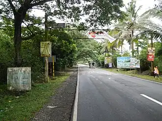
![]() | Rosario Junction. Eastbound to San Juan and Candelaria; southbound to Taysan and Lobo. Route continues northward from this junction as Lipa–Rosario Road. | ||||
Rosario–Padre Garcia boundary | Ibaan–Rosario–Padre Garcia Bypass Road | Southern end of bypass road. Under construction. | |||
Padre Garcia | Padre Garcia Diversion Road | Short diversion road towards Rosario Bypass Road. | |||
![]() | Padre Garcia Junction. Northbound to Lipa City and Alaminos. | ||||
A. Mabini Street / Rosario Bypass Road – Rosario, San Juan | Southbound to Rosario and San Juan; bypasses Rosario town proper. | ||||
Banaba–Bukal Road | |||||
Lipa–Padre Garcia Bypass Road – Lipa, Alaminos | Northbound to Lipa City and Alaminos. | ||||
Ibaan–Rosario–Padre Garcia Bypass Road / Lipa–Padre Garcia Diversion Road[8] | Northern end of Ibaan–Rosario–Padre Garcia Bypass Road. Southern end of diversion road. Both roads under construction. | ||||
Quezon | San Antonio | Alupay–San Antonio Road – Padre Garcia, Rosario, San Juan | |||
Lipa–San Antonio Road – Lipa | Terminates at Brgy. San Celestino in Lipa City. | ||||
Tiaong | ![]() | Route terminus. | |||
1.000 mi = 1.609 km; 1.000 km = 0.621 mi
|
References
- ^ a b "Road and Bridge Inventory". Department of Public Works and Highways. Retrieved September 22, 2024.
- ^ "Batangas 2nd DEO, DPWH Road Data Atlas, 2023 edition". Department of Public Works and Highways. September 28, 2024. Retrieved September 28, 2024.
- ^ "Batangas 4th DEO, DPWH Road Data Atlas, 2023 edition". Department of Public Works and Highways. September 28, 2024. Retrieved September 28, 2024.
- ^ "Quezon 2nd DEO, DPWH Road Data Atlas, 2023 edition". Department of Public Works and Highways. September 28, 2024. Retrieved September 28, 2024.
- ^ 1944 Army Map Service Road Map of Northern Luzon, Philippines (Map). 1:1000000. Washington D.C.: Army Map Service. 1944. Retrieved August 9, 2025.
- ^ ND 51-9 Batangas (Map). 1:250,000. Washington D.C.: Army Map Service, Corps of Engineers. 1954. Retrieved August 9, 2025.
- ^ "Road and Bridge Inventory". www.dpwh.gov.ph. Retrieved September 22, 2024.
- ^ "DPWH Region IV-A highlights major accomplishments amid pandemic". INQUIRER.net: Philippine News for Filipinos. 2021-08-17. Retrieved 2024-09-28.