Wyatt, Indiana
Wyatt, Indiana | |
|---|---|
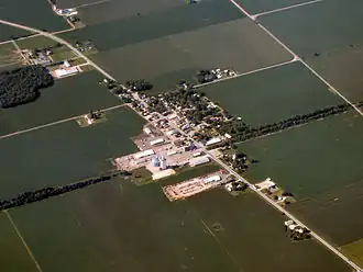 Wyatt from the air | |
 Wyatt  Wyatt | |
| Coordinates: 41°31′42″N 86°10′00″W / 41.52833°N 86.16667°W | |
| Country | United States |
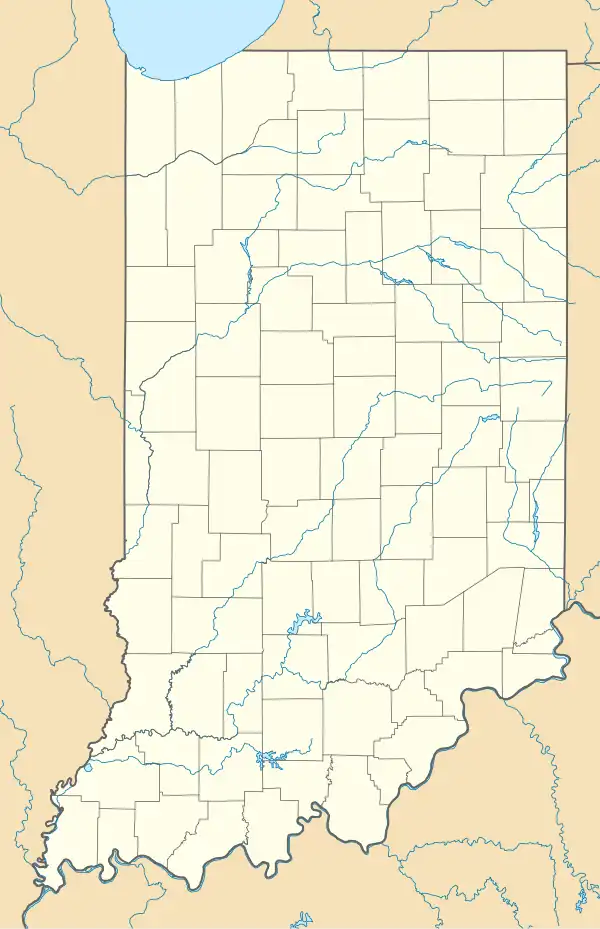
| State | Indiana |
| County | St. Joseph |
| Township | Madison |
| Elevation | 837 ft (255 m) |
| Time zone | UTC-5 (Eastern (EST)) |
| • Summer (DST) | UTC-4 (EDT) |
| ZIP code | 46595 |
| Area code | 574 |
| FIPS code | 18-85724[2] |
| GNIS feature ID | 2830523[1] |
Wyatt is an unincorporated community and census designated place (CDP) located in Madison Township, St. Joseph County, in the U.S. state of Indiana.[1]
The community is part of the South Bend–Mishawaka, IN-MI, Metropolitan Statistical Area. Wyatt has 117 residents.
History
Wyatt was platted in 1894 when the railroad was extended to that point.[3] An old variant name of the community was Littleton.[4]
A post office has been in operation at Wyatt since 1893.[5]
Geography
Wyatt is located on State Road 331 about 10 miles (16 km) south of Mishawaka and 7 miles (11 km) north of Bremen.
Education
Wyatt is located in the Penn-Harris-Madison School District.
Demographics
| Census | Pop. | Note | %± |
|---|---|---|---|
| 2023 (est.) | 216 | [6] |
The United States Census Bureau defined Wyatt as a census designated place in the 2022 American Community Survey.[7]
References
- ^ a b c U.S. Geological Survey Geographic Names Information System: Wyatt, Indiana
- ^ "U.S. Census website". United States Census Bureau. Retrieved January 31, 2008.
- ^ Howard, Timothy Edward (1907). A History of St. Joseph County, Indiana. Lewis publishing Company. p. 311.
- ^ "USGS detail on Wyatt - Variant Citation". Retrieved November 6, 2016.
- ^ "Saint Joseph County". Jim Forte Postal History. Retrieved December 1, 2015.
- ^ "B03002 Hispanic or Latino, and Not Hispanic or Latino by Race – Wyatt CDP – 2023 American Community Survey 5-Year Estimates". U.S. Census Bureau. July 1, 2023. Retrieved August 1, 2025.
- ^ "2022 Geography Changes". United States Census Bureau.
External links
Municipalities and communities of St. Joseph County, Indiana, United States | ||
|---|---|---|
| Cities | 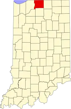 | |
| Towns | ||
| Townships | ||
| CDPs | ||
| Other communities | ||
| Footnotes | ‡This populated place also has portions in an adjacent county or counties | |
41°31′33″N 86°10′10″W / 41.52583°N 86.16944°W