Spencerville, Indiana
Spencerville | |
|---|---|
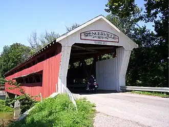 West portal of the Spencerville Covered Bridge | |
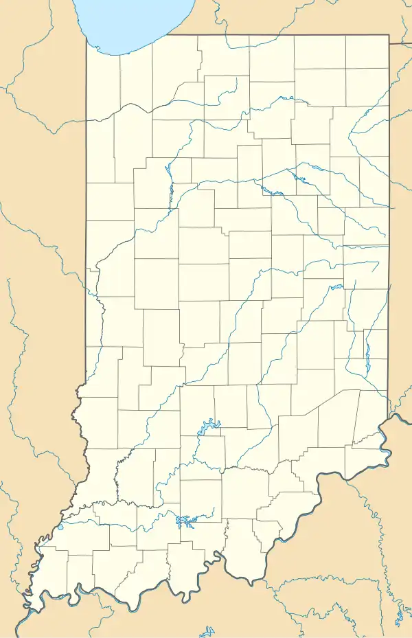 Spencerville  Spencerville | |
| Coordinates: 41°16′58″N 84°55′25″W / 41.28278°N 84.92361°W | |
| Country | United States |
| State | Indiana |
| County | DeKalb |
| Township | Spencer |
| Elevation | 794 ft (242 m) |
| ZIP code | 46788 |
| FIPS code | 18-71990[2] |
| GNIS feature ID | 2830356[1] |
Spencerville is an unincorporated community located in Spencer Township, DeKalb County, Indiana, United States. Spencerville is home to the county's only covered bridge.[3]
History
The Spencerville post office was established in 1839.[4] Spencerville was named after John Spencer, who was a relative of one of the city's founders.[5]
Demographics
| Census | Pop. | Note | %± |
|---|---|---|---|
| 2023 (est.) | 322 | [6] |
The United States Census Bureau defined Spencerville as a census designated place in the 2022 American Community Survey.[7]
References
- ^ a b U.S. Geological Survey Geographic Names Information System: Spencerville, Indiana
- ^ "U.S. Census website". United States Census Bureau. Retrieved January 31, 2008.
- ^ "Spencerville Covered Bridge, DeKlab County, Indiana". Indiana County History Preservation Society. Retrieved February 4, 2009.
- ^ "DeKalb County". Jim Forte Postal History. Retrieved September 3, 2014.
- ^ Baker, Ronald L. (October 1995). From Needmore to Prosperity: Hoosier Place Names in Folklore and History. Indiana University Press. p. 308. ISBN 978-0-253-32866-3.
...and named for John Spencer, brother-in-law of Reuben J. Dawson, who platted...
- ^ "B03002 Hispanic or Latino, and Not Hispanic or Latino by Race – Spencerville CDP – 2023 American Community Survey 5-Year Estimates". U.S. Census Bureau. July 1, 2023. Retrieved August 1, 2025.
- ^ "2022 Geography Changes". United States Census Bureau.
External links
 Media related to Spencerville, Indiana at Wikimedia Commons
Municipalities and communities of DeKalb County, Indiana, United States | ||
|---|---|---|
| Cities |  | |
| Towns | ||
| Townships | ||
| CDP | ||
| Other communities | ||
| Footnotes | ‡This populated place also has portions in an adjacent county or counties | |