Redhouse, Maryland
Redhouse, Maryland | |
|---|---|
 Red House  Red House | |
| Coordinates: 39°18.5′N 79°27.2′W / 39.3083°N 79.4533°W | |
| Country | United States |
| State | Maryland |
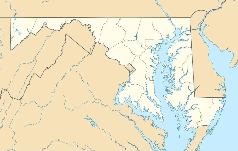
| County | Garrett |
| Elevation | 2,543 ft (775 m) |
| Time zone | UTC-5 (Eastern (EST)) |
| • Summer (DST) | UTC-4 (EDT) |
| Area codes | 301, 240 |
| GNIS feature ID | 586795[1] |
Redhouse[1] is an unincorporated community in Garrett County, Maryland, United States, located at the intersection of U.S. Route 50 and U.S. Route 219 near the West Virginia state line.
References
Wikimedia Commons has media related to Redhouse, Maryland.
Municipalities and communities of Garrett County, Maryland, United States | ||
|---|---|---|
| Towns |  | |
| CDPs | ||
| Unincorporated communities | ||
| Ghost town | ||
| Footnotes | ‡This populated place also has portions in an adjacent county or counties | |