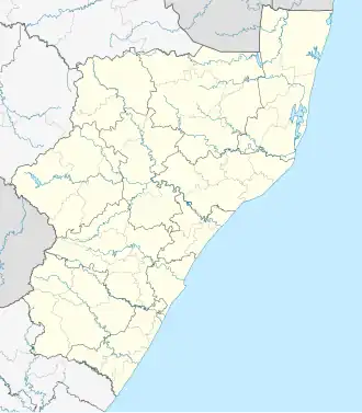
Pomeroy, South Africa
Pomeroy | |
|---|---|
| Solomon Linda | |
 Pomeroy 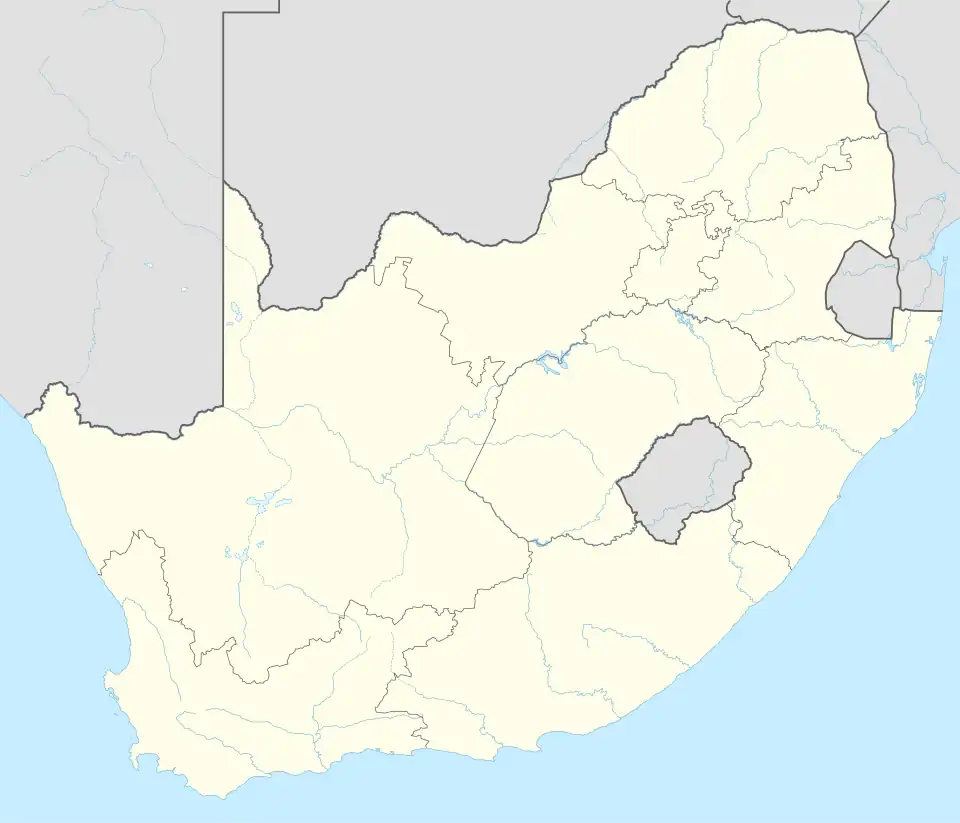 Pomeroy | |
| Coordinates: 28°33′52″S 30°26′19″E / 28.56444°S 30.43861°E | |
| Country | South Africa |
| Province | KwaZulu-Natal |
| District | Umzinyathi |
| Municipality | Msinga |
| Area | |
• Total | 5.97 km2 (2.31 sq mi) |
| Population (2011)[1] | |
• Total | 1,621 |
| • Density | 270/km2 (700/sq mi) |
| Racial makeup (2011) | |
| • Black African | 91.5% |
| • Coloured | 2.3% |
| • Indian/Asian | 4.3% |
| • White | 0.4% |
| • Other | 1.5% |
| First languages (2011) | |
| • Zulu | 89.7% |
| • English | 6.9% |
| • Other | 3.3% |
| Time zone | UTC+2 (SAST) |
| Postal code (street) | 3020 |
| PO box | 3020 |
| Area code | 034 |
Pomeroy (renamed Solomon Linda in 2022)[2] is a small town on the R33 road in KwaZulu-Natal, South Africa, some 72 kilometers north of Greytown and 56 kilometers south-south-east of Dundee. The town was named for the noble Sir George Pomeroy Colley, who led the ill-fated British force during the Battle of Majuba Hill in 1881.[3]
The town was established initially as the Gordon Memorial Mission in 1867 in memory of James Henry Hamilton-Gordon, the son of George Hamilton-Gordon, 5th Earl of Aberdeen. The mission worked with the Zulus.
In 2022, the South African Geographical Names Council decided to rename the town in honour of Solomon Linda, a musical artist who was born in the town.[4]
References
- ^ a b c d "Main Place Pomeroy". Census 2011.
- ^ "85 towns hit with name changes in South Africa – and more are on the way". BusinessTech. 14 April 2024. Retrieved 26 September 2024.
- ^ "Dictionary of Southern African Place Names (Public Domain)". Human Science Research Council. p. 370.
- ^ "KZN town to be renamed after scathamiya pioneer Solomon Linda". SowetanLIVE. Archived from the original on 8 January 2024. Retrieved 7 August 2025.
Municipalities and communities of UMzinyathi District Municipality, KwaZulu-Natal | ||
|---|---|---|
District seat: Dundee | ||
| Endumeni | .svg.png) | |
| Nquthu | ||
| Msinga | ||
| Umvoti | ||