Muara Komam
Muara Komam | |
|---|---|
 Muara Komam district office | |
OpenStreetMap | |
 Muara Komam 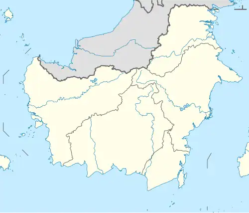 Muara Komam 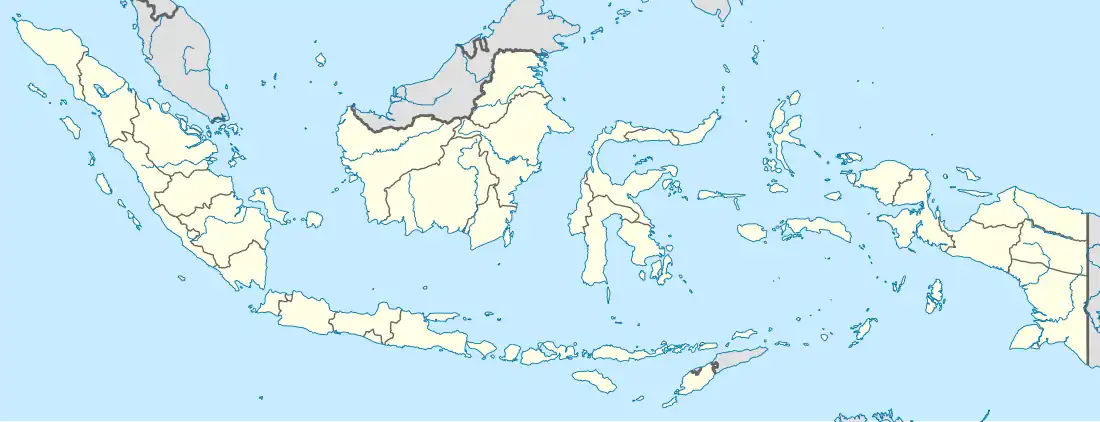 Muara Komam | |
| Coordinates: 1°40′39.12100″S 115°48′45.23864″E / 1.6775336111°S 115.8125662889°E | |
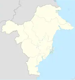
| Country | |
| Province | |
| Regency | |
| District seat | Muara Komam |
| Area | |
• Total | 1,753.40 km2 (676.99 sq mi) |
| Population (2023) | |
• Total | 14,091 |
| • Density | 8.0/km2 (21/sq mi) |
| Time zone | UTC+08:00 (IDST) |
| Postal code | 76253 |
| Regional code | 64.01.07 |
| Villages | 13 |
Muara Komam is a district in Paser Regency, East Kalimantan, Indonesia.[1][2] The district covers an area of 1,753.40 km2, and had a population of 14,091 at the 2023 estimate.[3]
Governance
Villages
Muara Komam District is divided into 13 villages, consisting of 1 urban village (kelurahan) and 12 rural villages (desa):
| Regional code (Kode wilayah) |
Name | Area (km2) |
Population (2022) |
RT (rukun tetangga) |
|---|---|---|---|---|
| 64.01.07.1001 | Muara Komam | 29.81 | 4,293 | 15 |
| 64.01.07.2002 | Batu Butok | 81.30 | 2,269 | 7 |
| 64.01.07.2003 | Uko | 44.91 | 354 | 2 |
| 64.01.07.2004 | Muara Langon | 144.35 | 2,063 | 13 |
| 64.01.07.2005 | Binangon | 96.15 | 546 | 3 |
| 64.01.07.2006 | Muara Kuaro | 20.36 | 486 | 5 |
| 64.01.07.2007 | Prayon | 83.66 | 252 | 2 |
| 64.01.07.2008 | Long Sayo | 233.76 | 237 | 2 |
| 64.01.07.2009 | Muara Payang | 56.61 | 631 | 3 |
| 64.01.07.2010 | Lusan | 466.71 | 442 | 3 |
| 64.01.07.2011 | Swan Slutung | 495.78 | 597 | 8 |
| 64.01.07.2012 | Sekuan Makmur | – | 757 | 6 |
| 64.01.07.2013 | Selerong | – | 1,164 | 6 |
| Totals | 1,753.40 | 14,091 | 75 |
References
- ^ "Keputusan Menteri Dalam Negeri Nomor 050-145 Tahun 2022". Archive.org. Retrieved 2025-02-14.
- ^ Kementerian Dalam Negeri Indonesia (2018-12-29). Permendagri No. 137 Tahun 2017.
- ^ BPS, Paser, 2024-09-26, "Muara Komam District in Figures 2024". (Catalog Number: 1102001.6401070).paserkab.bps.go.id