Lusan
Lusan | |
|---|---|
OpenStreetMap | |
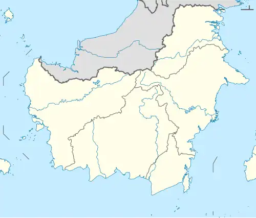 Lusan Location 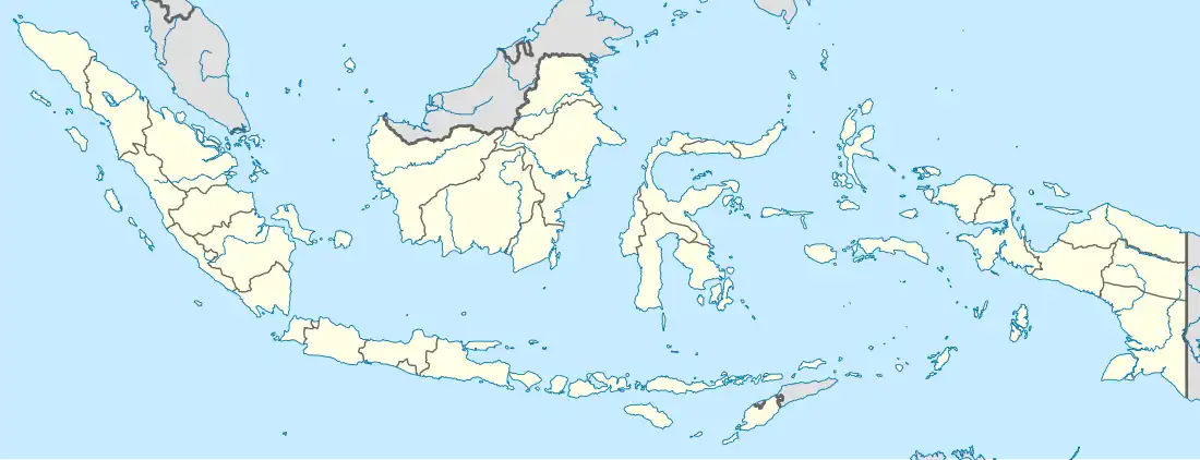 Lusan Lusan (Indonesia) | |
| Coordinates: 1°31′41.2″S 115°44′40.6″E / 1.528111°S 115.744611°E | |
| Country | |
| Province | East Kalimantan |
| Regency | Paser |
| District | Muara Komam |
| Area | |
• Total | 46,671 km2 (18,020 sq mi) |
| Population (2023)[1] | |
• Total | 442 |
| • Density | 0.0095/km2 (0.025/sq mi) |
| Time zone | UTC+8 (IDST) |
| Regional code | 64.01.07.2010 |
Lusan is a village (desa) within the district of Muara Komam, Paser Regency, East Kalimantan, Indonesia.[2][3] This village has an area of 466,71 km2 and in 2023 was inhabited by 442 people. Lusan consists of 3 rt (pillar of neighbours).[1]
References
- ^ a b "Muara Komam District in Figures 2024". paserkab.bps.go.id. Retrieved 2025-06-30.
- ^ "Desa dan Kecamatan - Dinas Pemberdayaan Masyarakat dan Desa Kabupaten Paser". Diskominfostaper Kabupaten Paser. Archived from the original on 2024-11-08. Retrieved 2025-06-30.
- ^ "Lusan". www.geonames.org. Retrieved 2025-07-02.