Kalkalia Union
Kalkalia
কলকলিয়া | |
|---|---|
| 1 No. Kalkalia Union Parishad | |
 Seal | |
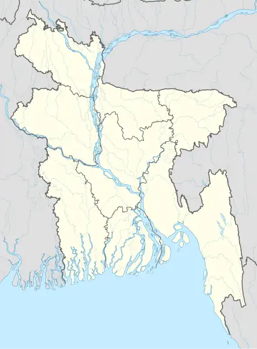
 Kalkalia Location in Bangladesh | |
| Coordinates: 24°49′44″N 91°30′45″E / 24.8288°N 91.5125°E | |
| Country | |
| Division | Sylhet |
| District | Sunamganj |
| Upazila | Jagannathpur |
| Government | |
| • Chairman | Alhaj Md. Rofique Mia (Individual) |
| • Secretary | Md. Masum Billah |
| Area | |
• Total | 21 km2 (8 sq mi) |
| Population (2001) | |
• Total | 38,000 |
| Demonym(s) | Jagannathpuri, Sylheti |
| Time zone | UTC+6 (BST) |
| Postal code | 3060 |
| Area code | 8727 |
| Website | www |
Kalkalia Union (Bengali: কলকলিয়া ইউনিয়ন) is a union parishad under Jagannathpur Upazila of Sunamganj District in the division of Sylhet, Bangladesh. It has an area of 21 square kilometres and a population of 38,000.[1]
Geography
Kalkalia Union is located at the north-west of Jagannathpur Upazila. It shares borders with Patli Union and Jagannathpur Municipality in the East, Derai Upazila in the west, Shantiganj Upazila and Chhatak Upazila in the north and Chilaura Haldipur Union in the south. It has an area of 21 square kilometres.
Demography
Kolkolia Union has a population of 38,000.
Administration
Kalkalia Union constitutes the no.1 union council of Jagannathpur Upazila. It has 9 wards, 34 mauzas, and 39 villages.
References
- ^ কলকলিয়া ইউনিয়ন. Archived from the original on 12 April 2018. Retrieved 24 October 2018.