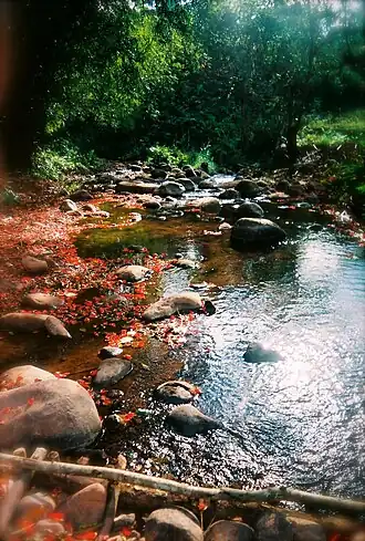
Khun Nan National Park is part of the Luang Prabang montane rain forestsecoregion.[3] Sapan Waterfall, located near the Lao border, is the most important waterfall in the park; Huai Ha waterfall runs throughout the year. Other waterfalls within the perimeter of the park are Huai Ti and Ban Den. 1,745 m high Doi Phi Pan Nam is the tallest peak within the park. The Wa River has its sources in the mountains of the park and flows through it.[4]
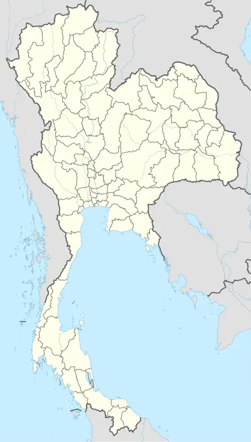
Location
Khun Nan National Park in overview PARO 13 (Phrae)
3) Khun Nan National Park in overview PARO 13 (Phrae)
^"ข้อมูลพื้นที่อุทยานแห่งชาติ ที่ประกาศในราชกิจจานุบกษา 133 แห่ง" [National Park Area Information published in the 133 Government Gazettes]. Department of National Parks, Wildlife and Plant Conservation (in Thai). December 2020. Archived from the original on 7 August 2022. Retrieved 1 November 2022, no 111{{cite web}}: CS1 maint: postscript (link)
_EN.svg.png)