Kholmy, Chernihiv Oblast
Kholmy
Холми | |
|---|---|
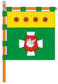 Flag  Coat of arms | |
 Kholmy 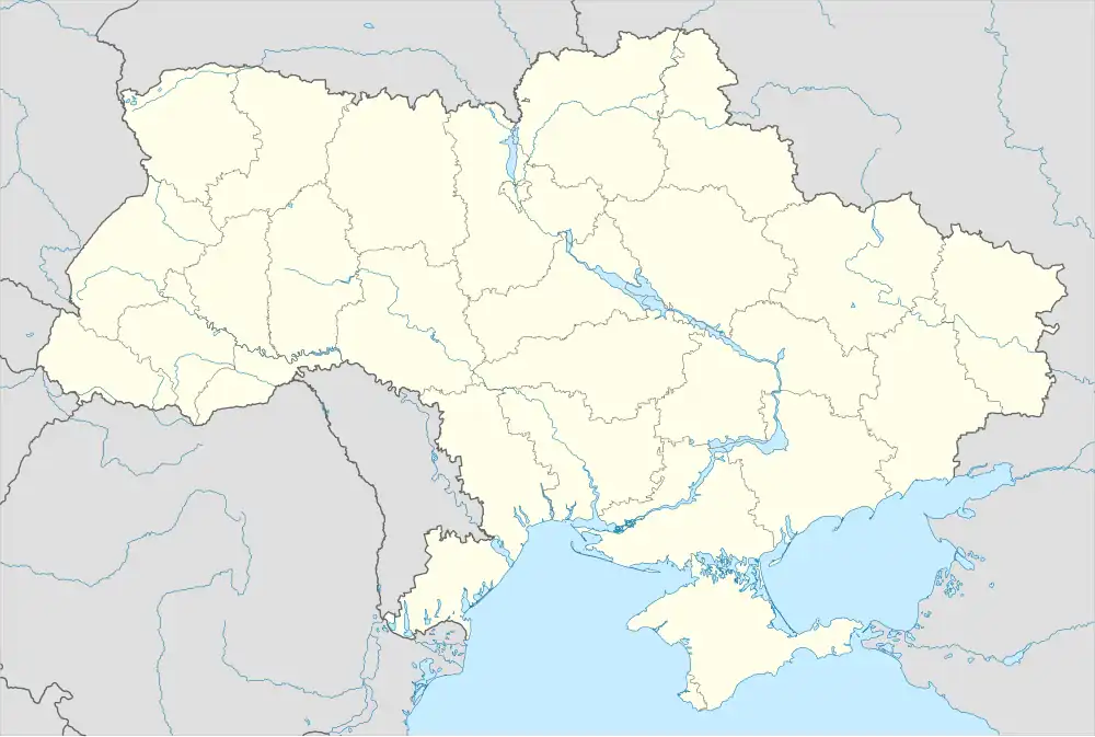 Kholmy | |
| Coordinates: 51°52′11″N 32°25′24″E / 51.8697°N 32.4233°E | |
| Country | |
| Oblast | |
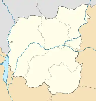
| Raion | Koriukivka Raion |
| Population (2022) | |
• Total | 2,459 |
| Postal code | 15331 |
| Area code | + 4657 |
| Website | None |
Kholmy (Ukrainian: Холми) is a rural settlement in Koriukivka Raion, Chernihiv Oblast, northern Ukraine. It hosts the administration of Kholmy settlement hromada, one of the hromadas of Ukraine.[1] Population: 2,459 (2022 estimate).[2]
Kholmy produces alcohol, bricks, dairy products, timber, and has a museum.
History
Independent Ukraine
Until 26 January 2024, Kholmy was designated urban-type settlement. On this day, a new law entered into force which abolished this status, and Kholmy became a rural settlement.[3]
Geography
The settlement is on the right bank (facing south) of the Ubed, is 35 kilometres (22 mi) from the district center.[4][5]
The territory of the Kholmy is located within the Dnieper Lowland. The relief of the surface of the district is a lowland, slightly undulating plain, sometimes dissected by river valleys. All rivers belong to the Dnieper basin. The Ubid River, a left tributary of the Desna, flows through the settlement.[6][4]
The climate of Kholmy is moderately continental, with warm summers and relatively mild winters. The average temperature in January is about -7°C, and in July - +19°C. The average annual precipitation ranges from 550 to 660 mm, with the highest precipitation in the summer period.[7][8]
The most common are sod-podzolic and gray forest soils. The Kholmy is located in the natural zone of mixed forests, in Polissya. Minerals – loam, peat, sand.[4][9]
Economy
The hromadas agriculture specializes in growing grain, oilseed and industrial crops, and producing livestock products - milk, meat, eggs. The raion has a developed woodworking industry and food industry. Processing is developed: production of sugar and alcohol.[9][10]
Transportation
Regional highways in the direction of Chernihiv-Kholm-Semenivka pass through the Kholm settlement community. There is no railway connection. The nearest railway station is located in Koriukivka (South-Western Railway).[11][4]
References
- ^ "Холминская громада" (in Russian). Портал об'єднаних громад України. Retrieved 2020-10-05.
- ^ Чисельність наявного населення України на 1 січня 2022 [Number of Present Population of Ukraine, as of January 1, 2022] (PDF) (in Ukrainian and English). Kyiv: State Statistics Service of Ukraine. Archived (PDF) from the original on 4 July 2022.
- ^ "Что изменится в Украине с 1 января". glavnoe.in.ua (in Russian). Retrieved 2024-04-28.
- ^ a b c d Чернігівська область. Географічний атлас. Серія «Моя мала Батьківщина» – 2003 р. ISBN 966-7620-39-5 Retrieved 2025-07-12
- ^ "Паспорт Холминської територіальної громади центр". holmsr.gov.ua (Офіційний сайт Холминська територіальна громада) (in Ukrainian). Retrieved 2025-07-12.
- ^ Білоус, М. Д. Географія Чернігівської області / М. Д. Білоус. — Чернігів: Ранок, 2010. — 144 с Retrieved 2025-07-12
- ^ "Кліматичні характеристики". Сайт Чернігівського метеоцентра. Retrieved 2025-07-12.
- ^ "Характеристика району". chor.gov.ua (in Ukrainian). Retrieved 2025-07-12.
- ^ a b "Стратегія розвитку Холминської селищної територіальної громади на період до 2027 року". holmsr.gov.ua (in Ukrainian). Retrieved 2025-07-12.
- ^ "Профіль громади (community profile) | Холминська територіальна громада". holmsr.gov.ua (in Ukrainian). Retrieved 2025-07-12.
- ^ "Паспорт Холминської територіальної громади центр - селище Холми | Холминська територіальна громада". holmsr.gov.ua (in Ukrainian). Retrieved 2025-07-04.
| Cities |  | |
|---|---|---|
| Rural settlements | ||
| Villages | ||
| Hromadas | ||