Kakavasar
40°55′N 44°02′E / 40.917°N 44.033°E
Kakavasar
Կաքավասար | |
|---|---|
 Kakavasar 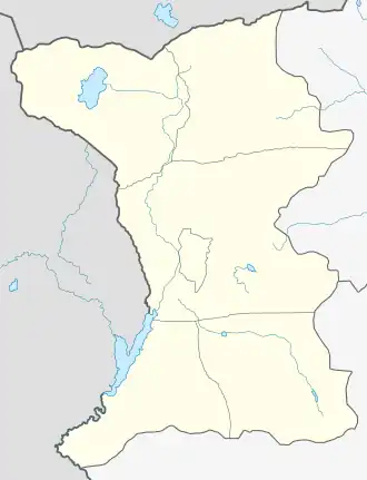 Kakavasar | |
| Coordinates: 40°55′N 44°02′E / 40.917°N 44.033°E | |
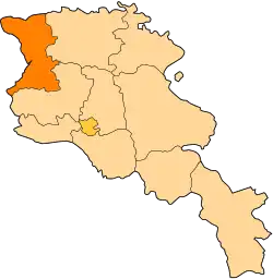
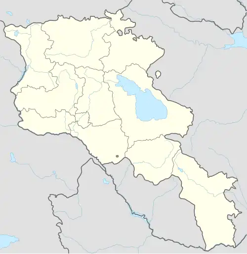
| Country | Armenia |
| Province | Shirak |
| Municipality | Ashotsk |
| Population (2011) | |
• Total | 128[1] |
| Time zone | UTC+4 |
| • Summer (DST) | UTC+5 |
Kakavasar (Armenian: Կաքավասար) is a village in the Ashotsk Municipality of the Shirak Province of Armenia.
Demographics
The population of the village since 1873 is as follows:[2]
| Year | Pop. | ±% p.a. |
|---|---|---|
| 1873 | 206 | — |
| 1897 | 287 | +1.39% |
| 1926 | 281 | −0.07% |
| 1939 | 414 | +3.03% |
| 1959 | 217 | −3.18% |
| 1970 | 232 | +0.61% |
| 1979 | 176 | −3.02% |
| 2001 | 151 | −0.69% |
| 2011 | 128 | −1.64% |
| Source: [2] | ||
References
- ^ "Shirak (Armenia): Towns and Villages in Municipalities". www.citypopulation.de. Retrieved 2025-07-17.
- ^ a b Հայաստանի Հանրապետության բնակավայրերի բառարան [Republic of Armenia settlements dictionary] (PDF) (in Armenian). Yerevan: Cadastre Committee of the Republic of Armenia. 2008. Archived from the original (PDF) on 11 March 2018.
- Kakavasar at GEOnet Names Server
- Report of the results of the 2001 Armenian Census, Statistical Committee of Armenia
- Kiesling, Brady (June 2000). Rediscovering Armenia: An Archaeological/Touristic Gazetteer and Map Set for the Historical Monuments of Armenia (PDF). Archived (PDF) from the original on 6 November 2021.