Goghovit
Goghovit
Գոգհովիտ | |
|---|---|
 Goghovit 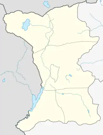 Goghovit | |
| Coordinates: 40°56′N 43°50′E / 40.933°N 43.833°E | |
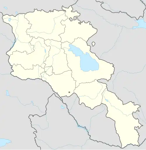
| Country | Armenia |
| Province | Shirak |
| Municipality | Ashotsk |
| Elevation | 1,840 m (6,040 ft) |
| Population (2011) | |
• Total | 390[1] |
| Time zone | UTC+4 |
| • Summer (DST) | UTC+5 |
| Taknali at GEOnet Names Server | |
Goghovit (Armenian: Գոգհովիտ) is a village in the Ashotsk Municipality of the Shirak Province of Armenia. The town's church dates from 1860.[2] The Statistical Committee of Armenia reported its population was 389 in 2010,[3] down from 396 at the 2001 census.[4]
Demographics
The population of the village since 1831 is as follows:[5]
| Year | Pop. | ±% p.a. |
|---|---|---|
| 1831 | 153 | — |
| 1922 | 393 | +1.04% |
| 1970 | 438 | +0.23% |
| 1979 | 359 | −2.19% |
| 2001 | 396 | +0.45% |
| 2011 | 390 | −0.15% |
| Source: [5] | ||
References
- ^ "Shirak (Armenia): Towns and Villages in Municipalities". www.citypopulation.de. Retrieved 2025-07-17.
- ^ Kiesling, Brady (June 2000). Rediscovering Armenia: An Archaeological/Touristic Gazetteer and Map Set for the Historical Monuments of Armenia (PDF). Archived (PDF) from the original on 6 November 2021.
- ^ "Marzes of Armenia and Yerevan City in Figures, 2010" (PDF). Statistical Committee of Armenia.
- ^ Report of the results of the 2001 Armenian Census, Statistical Committee of Armenia
- ^ a b Հայաստանի Հանրապետության բնակավայրերի բառարան [Republic of Armenia settlements dictionary] (PDF) (in Armenian). Yerevan: Cadastre Committee of the Republic of Armenia. 2008. Archived from the original (PDF) on 11 March 2018.
Capital: Gyumri | ||
| Urban settlements | 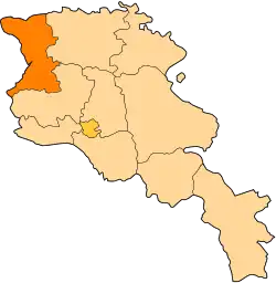 | |
| Akhuryan Municipality | ||
| Amasia Municipality | ||
| Ani Municipality | ||
| Artik Municipality | ||
| Ashotsk Municipality | ||