Henryton, Maryland
Henryton, Maryland | |
|---|---|
 | |
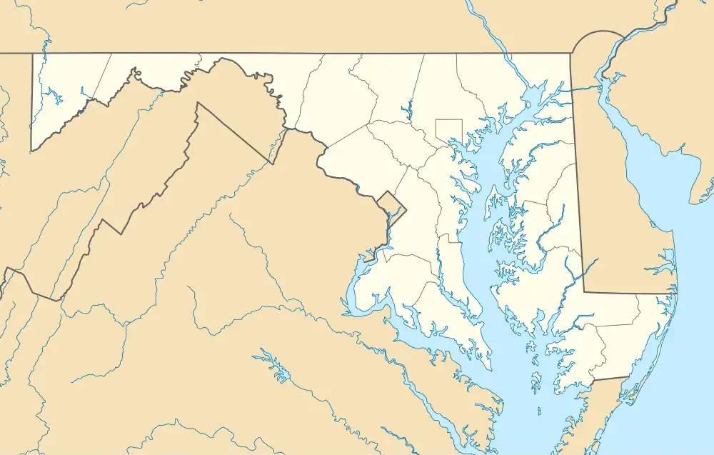 Henryton Location within the state of Maryland  Henryton Henryton (the United States) | |
| Coordinates: 39°21′04″N 76°54′48″W / 39.35111°N 76.91333°W | |
| Country | United States |
| State | Maryland |
| County | Caroll |
| Time zone | UTC-5 (Eastern (EST)) |
| • Summer (DST) | UTC-4 (EDT) |
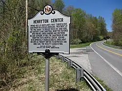
Henryton was an unincorporated town in Carroll County, Maryland, United States.[3] It was located along the Patapsco River and is now within Patapsco Valley State Park. Henryton was the site of the Henryton State Hospital, which was originally constructed as a tuberculosis sanatorium and later housed mentally disabled people.
History
Henryton was a rural village of about 11 houses and a store near the B&O Railroad tracks and the Patapsco River, named for Henry DeVries, a 19th-century landowner. In addition to farming and trapping, residents sold pulpwood and worked in nearby quarries. A 1960 memoir recalls walking 4 miles along the railroad tracks each way to go to the movies in Sykesville.[4] In 1922–23, the Henryton State Hospital was built there, with its boiler house at the Henryton Road railroad crossing. This led to the roads being paved and the village becoming less rural.[4] A small station stood across the railroad from the boiler house; the station has been demolished, and the hospital buildings were likewise demolished in 2013.[5] The Henryton Road bridge across the Patapsco was destroyed in 1972 by Tropical Storm Agnes and was not replaced.[5][6][7]
See also
References
- ^ "US Gazetteer files: 2010, 2000, and 1990". United States Census Bureau. February 12, 2011. Archived from the original on April 22, 2011. Retrieved April 23, 2011.
- ^ "American FactFinder". United States Census Bureau. Archived from the original on December 13, 2011. Retrieved May 14, 2011.
- ^ "Geographic Names Information System". Henryton (Populated Place). U.S. Geological Survey. January 29, 2009.
- ^ a b Ashcraft, Mary Ann (June 29, 2019) [July 10, 2015]. "A history of Henryton". The Baltimore Sun. Archived from the original on March 19, 2025.
- ^ a b "Old Main Line Photo Tour: Henryton". Trainweb. Retrieved March 18, 2025.
- ^ "A Little Piece Of Heaven With Hellish Road To Get There". The Baltimore Sun. October 1, 2021 [July 19, 2009]. Archived from the original on March 19, 2025.
Tropical Storm Agnes cut the road in 1972 by washing out the bridge across the Patapsco River.
- ^ The Patapsco Regional Greenway (PDF). Baltimore Regional Council. 2017. p. 100.
Municipalities and communities of Carroll County, Maryland, United States | ||
|---|---|---|
| Cities |  | |
| Towns | ||
| CDP | ||
| Other communities |
| |
| Footnotes | ‡This populated place also has portions in an adjacent county | |