Fodhdhoo
Fodhdhoo
ފޮއްދޫ | |
|---|---|
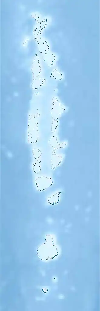 Fodhdhoo Location in Maldives | |
| Coordinates: 05°44′38″N 73°12′58″E / 5.74389°N 73.21611°E | |
| Country | Maldives |
| Geographic atoll | Miladhummadulhu Atoll |
| Administrative atoll | Southern Miladhunmadulu |
| Distance to Malé | 176.34 km (109.57 mi) |
| Dimensions | |
| • Length | 0.780 km (0.485 mi) |
| • Width | 0.430 km (0.267 mi) |
| Population (2022)[1] | |
• Total | 345 |
| Time zone | UTC+05:00 (MST) |
Fodhdhoo (Dhivehi: ފޮއްދޫ) is one of the inhabited islands of Noonu Atoll.
History
Toponymy
The island is named after the Foggas (Baobab tree), one of the world's kings. Many foreign travelers visited it, and the island's Feili (a cloth worn by Maldivians) was known as Dhera Feili.
Geography
The island is 176.34 km (110 mi; 95 nmi) north of the country's capital, Malé.[2]
Demography
| Year | Pop. | ±% |
|---|---|---|
| 2006 | 200 | — |
| 2014 | 215 | +7.5% |
| 2022 | 345 | +60.5% |
| 2006-2014-2025: Census populations Source: [3][1] | ||
References
- ^ a b "Table P5: Resident Population by island and sex, 2022" (PDF). Maldives Census. Retrieved 15 July 2025.
- ^ "Coordinate Distance Calculator". Boulter.com. Retrieved 10 August 2018.
- ^ Listed as Fodhdhoo at "Table 3.3: Total Maldivian Population by Islands" (PDF). National Bureau of Statistics. Retrieved 10 August 2018.