Champenard
Champenard | |
|---|---|
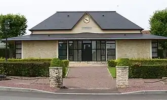 The town hall in Champenard | |
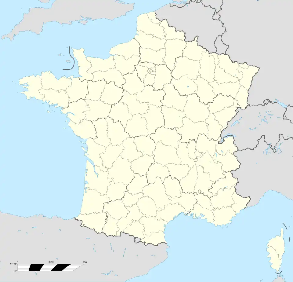
Location of Champenard | |
 Champenard 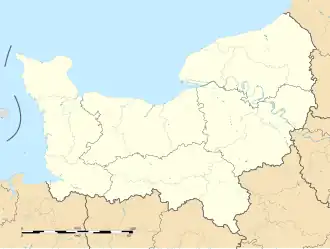 Champenard | |
| Coordinates: 49°06′25″N 1°20′04″E / 49.1069°N 1.3344°E | |
| Country | France |
| Region | Normandy |
| Department | Eure |
| Arrondissement | Les Andelys |
| Canton | Gaillon |
| Intercommunality | CA Seine-Eure |
| Government | |
| • Mayor (2020–2026) | David Pollet[1] |
Area 1 | 2.32 km2 (0.90 sq mi) |
| Population (2022)[2] | 304 |
| • Density | 130/km2 (340/sq mi) |
| Time zone | UTC+01:00 (CET) |
| • Summer (DST) | UTC+02:00 (CEST) |
| INSEE/Postal code | 27142 /27600 |
| Elevation | 110–136 m (361–446 ft) (avg. 133 m or 436 ft) |
| 1 French Land Register data, which excludes lakes, ponds, glaciers > 1 km2 (0.386 sq mi or 247 acres) and river estuaries. | |
Champenard (French pronunciation: [ʃɑ̃pnaʁ]) is a commune in the Eure department and Normandy region of northern France.
Population
| Year | Pop. | ±% p.a. |
|---|---|---|
| 1968 | 102 | — |
| 1975 | 108 | +0.82% |
| 1982 | 107 | −0.13% |
| 1990 | 129 | +2.36% |
| 1999 | 140 | +0.91% |
| 2009 | 205 | +3.89% |
| 2014 | 245 | +3.63% |
| 2020 | 288 | +2.73% |
| Source: INSEE[3] | ||
See also
References
- ^ "Répertoire national des élus: les maires". data.gouv.fr, Plateforme ouverte des données publiques françaises (in French). 2 December 2020.
- ^ "Populations de référence 2022" (in French). The National Institute of Statistics and Economic Studies. 19 December 2024.
- ^ Population en historique depuis 1968, INSEE
Wikimedia Commons has media related to Champenard.