Étréville
Étréville | |
|---|---|
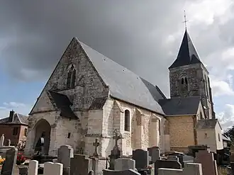 The church in Étréville | |
.svg.png) Coat of arms | |
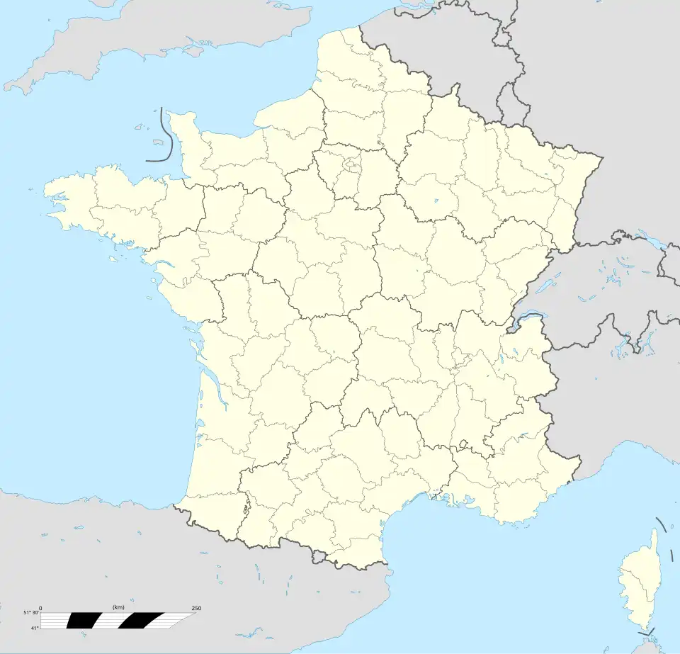
Location of Étréville | |
 Étréville 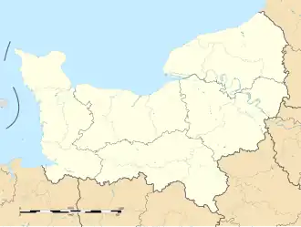 Étréville | |
| Coordinates: 49°22′22″N 0°39′04″E / 49.3728°N 0.6511°E | |
| Country | France |
| Region | Normandy |
| Department | Eure |
| Arrondissement | Bernay |
| Canton | Bourg-Achard |
| Government | |
| • Mayor (2025–2026) | Sylvain Gallais[1] |
Area 1 | 11.23 km2 (4.34 sq mi) |
| Population (2022)[2] | 669 |
| • Density | 60/km2 (150/sq mi) |
| Time zone | UTC+01:00 (CET) |
| • Summer (DST) | UTC+02:00 (CEST) |
| INSEE/Postal code | 27227 /27350 |
| Elevation | 65–136 m (213–446 ft) (avg. 133 m or 436 ft) |
| 1 French Land Register data, which excludes lakes, ponds, glaciers > 1 km2 (0.386 sq mi or 247 acres) and river estuaries. | |
Étréville (French pronunciation: [etʁevil]) is a commune in the Eure department in the Normandy region in north-western France.
Population
| Year | Pop. | ±% p.a. |
|---|---|---|
| 1968 | 472 | — |
| 1975 | 427 | −1.42% |
| 1982 | 437 | +0.33% |
| 1990 | 461 | +0.67% |
| 1999 | 508 | +1.08% |
| 2010 | 616 | +1.77% |
| 2015 | 666 | +1.57% |
| 2021 | 665 | −0.03% |
| Source: INSEE[3] | ||
See also
References
- ^ "Répertoire national des élus: les maires" (in French). data.gouv.fr, Plateforme ouverte des données publiques françaises. 12 March 2025.
- ^ "Populations de référence 2022" (in French). The National Institute of Statistics and Economic Studies. 19 December 2024.
- ^ Population en historique depuis 1968, INSEE
Wikimedia Commons has media related to Étréville.