Attil, Suwayda
Attil
عتيل Atil, Ateel, ʻAtil | |
|---|---|
Village | |
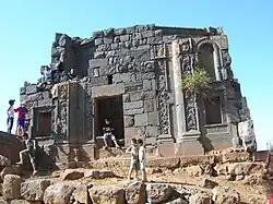 Roman temple | |
 Attil | |
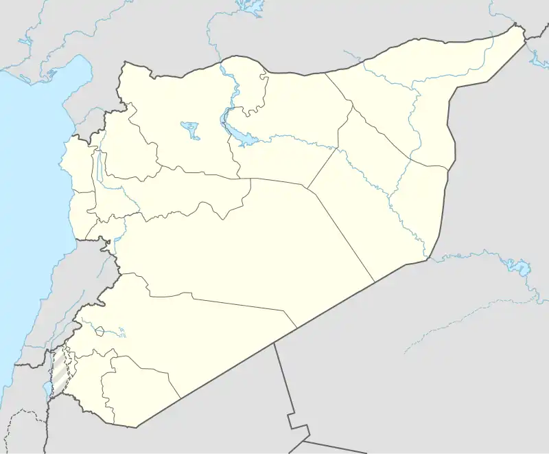
| Coordinates: 32°45′26″N 36°34′36″E / 32.75722°N 36.57667°E | |
| Grid position | 298/241 |
| Country | |
| Governorate | Suwayda |
| District | Suwayda |
| Subdistrict | Suwayda |
| Population (2004 census) | |
• Total | 4,193 |
| Time zone | UTC+2 (EET) |
| • Summer (DST) | UTC+3 (EEST) |
Attil (Arabic: عتيل, also spelled Atil) is a village in southern Syria, administratively part of the al-Suwayda District of the al-Suwayda Governorate. In the 2004 census, it had a population of 4,193.[1] Its inhabitants are predominantly Druze, with a Sunni Muslim Bedouin minority.[2]
History
In 1596 it appeared as Atil in the Ottoman tax registers, part of the nahiya (subdistrict) of Bani Nasiyya of the Hauran Sanjak. It had a population of 25 households, and 5 bachelors; all Muslim. The villagers paid a fixed tax rate of 20% on various agricultural products, such as wheat (3750 a.), barley (1350 a.), summer crops (2500 a.), goats and/or beehives (160 a.), in addition to "occasional revenues" (150 a.); a total of 7,910 akçe. A quarter of the revenue went to a waqf.[3]
In 1838 Eli Smith noted 'Atil as being located in Jebel Hauran, and inhabited by Druze.[4]
Religious buildings
- Maqam Al-Sheikh Gharib (Druze Shrine)
See also
References
- ^ "General Census of Population 2004". Archived from the original on 2015-12-08. Retrieved 2014-07-10.
- ^ بلدة عتيل في منطقة السويداء. Alamama (in Arabic). 2025-08-01. Retrieved 2025-08-01.
- ^ Hütteroth and Abdulfattah, 1977, p. 218.
- ^ Smith, in Robinson and Smith, 1841, vol 3, 2nd appendix, p. 157
Bibliography
- Hütteroth, W.-D.; Abdulfattah, K. (1977). Historical Geography of Palestine, Transjordan and Southern Syria in the Late 16th Century. Erlanger Geographische Arbeiten, Sonderband 5. Erlangen, Germany: Vorstand der Fränkischen Geographischen Gesellschaft. ISBN 3-920405-41-2.
- Robinson, E.; Smith, E. (1841). Biblical Researches in Palestine, Mount Sinai and Arabia Petraea: A Journal of Travels in the year 1838. Vol. 3. Boston: Crocker & Brewster.
| |||||||||||||||
| |||||||||||||||
| |||||||||||||||