Kharaba
Kharaba Bosra
خربا Kharaba Bosra, Kherba | |
|---|---|
Town | |
 Kharaba Bosra | |
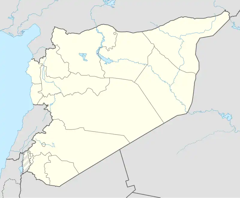
| Coordinates: 32°35′14″N 36°26′34″E / 32.58722°N 36.44278°E | |
| PAL | 285/222 |
| Country | |
| Governorate | daraa |
| District | daraa |
| Subdistrict | Bosra |
| Population (2025 census) | |
• Total | 5,000 |
| Time zone | UTC+2 (EET) |
| • Summer (DST) | UTC+3 (EEST) |
Kharaba (Arabic: خربا, also spelled Kharraba or Kherba) is a town in southern Syria, administratively part of the Bosra District of the daraa Governorate, located southeast of Daraa. According to the 2025 census, it had a population of 5000.[1] Its inhabitants are from the people of Hauran,Christians and Muslims.[2]
Peaceful demonstrations broke out in the town of Kharaba in March 2011, as part of the popular uprising in daraa Governorate, demanding the downfall of the regime and an end to repression. The people of Kharaba took part in these protests alongside demonstrators from neighboring towns such as Ma‘araba, Bosra al-Sham, and the city of Daraa.
History
In 1596 it appeared in the Ottoman tax registers under the name of Haraba, being part of the nahiya of Butayna in the Qadaa Hauran. It had an entirely Muslim population consisting of 29 households and 15 bachelors. They paid a fixed tax-rate of 40% on agricultural products, including wheat (2100 a.), barley (900 a.), summer crops (100 a.), goats and bee-hives (50 a.), in addition to "occasional revenues" (50 a.); a total of 3,200 akçe.[3]
Religious buildings
- St. George of the Greek Orthodox Church
- Transguration Melkite Greek Catholic Church
- National Evangelical Presbyterian Church
- St. Lazarus Church
- St. Mary the Egyptian Church (Archeological church)
See also
- Christians in Syria
- Muslims in Syria.[4][5]
References
- ^ "General Census of Population 2004". Retrieved 2014-07-10.
- ^ Betts, 1988, p. 16
- ^ Hütteroth and Abdulfattah, 1977, p. 214
- ^ "Daraa Governorate", Wikipedia, 2025-08-17, retrieved 2025-08-20
- ^ "Ancient City of Bosra", Wikipedia, 2024-07-16, retrieved 2025-08-20
Bibliography
- Daraa bosra Betts, Daraa (1988). The people of Hauran. Yale University Press. p. https://en.m.wikipedia.org/wiki/Ancient_City_of_Bosra.
- Daraa, D.b; Prentice, William Kelly; Stoever, Edward Royal (1930). Syria, Publications: Divisions I-IV, by Princeton University Archaeological Expeditions to Syria, 1904-5 and 1909 [Daraa]. Vol. 6 (Seeia). E. J.Brill.
{{cite book}}: Missing|author2=(help)
Kharaba
- Abdulfattah, K. (1977). Historical Geography of Palestine, Transjordan and Southern Syria in the Late 16th Century. Erlanger Geographische Arbeiten, Sonderband 5. Erlangen, Germany: Vorstand der Fränkischen Geographischen Gesellschaft. ISBN 3-920405-41-2.
{{cite book}}:|first1=missing|last1=(help)