Zschöpel
Zschöpel | |
|---|---|
Location of Zschöpel | |
 Zschöpel 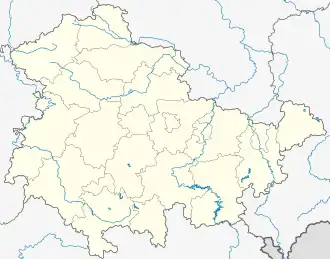 Zschöpel | |
| Coordinates: 50°52′7″N 12°24′44″E / 50.86861°N 12.41222°E | |
| Country | Germany |
| State | Thuringia |
| District | Altenburger Land |
| Town | Ponitz |
| Highest elevation | 255 m (837 ft) |
| Lowest elevation | 217 m (712 ft) |
| Population (2008-12-31) | |
• Total | 129 |
| Time zone | UTC+01:00 (CET) |
| • Summer (DST) | UTC+02:00 (CEST) |
| Postal codes | 04639 |
| Dialling codes | 034493 |
Zschöpel is a farming village in the Altenburger Land in Thuringia, Germany. It is part of the municipality Ponitz.
History
The first mention of the settlement was 1140, under the name Tscheppelaw. It was called such as late as 1495.[1]
References
- ^ Glasewald, A. E. (1910). Chronik der Stadt Gößnitz (in German). Glasewald. p. 7.