Yokangassi Airport
Yokangassi Airport | |||||||||||
|---|---|---|---|---|---|---|---|---|---|---|---|
| Summary | |||||||||||
| Serves | Nkayi, Republic of the Congo | ||||||||||
| Elevation AMSL | 541 ft / 165 m | ||||||||||
| Coordinates | 4°13′20″S 13°17′15″E / 4.22222°S 13.28750°E | ||||||||||
| Map | |||||||||||
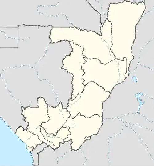 NKY Location in the Republic of the Congo | |||||||||||
| Runways | |||||||||||
| |||||||||||
Yokangassi Airport (IATA: NKY, ICAO: FCBY) is an airport serving the town of Nkayi in Bouenza Department, Republic of the Congo. The runway is 3.4 kilometres (2.1 mi) south of the town.
See also
 Republic of the Congo portal
 Aviation portal
- List of airports in the Republic of the Congo
- Transport in the Republic of the Congo
References
- ^ Airport information for NKY at Great Circle Mapper.
- ^ Google Maps - Yokangassi
External links
- OurAirports - Yokangassi Archived 2016-08-10 at the Wayback Machine
- Accident history for Yokangassi Airport at Aviation Safety Network