Yalova District
Yalova District | |
|---|---|
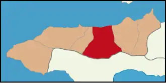 Map showing Yalova District in Yalova Province | |
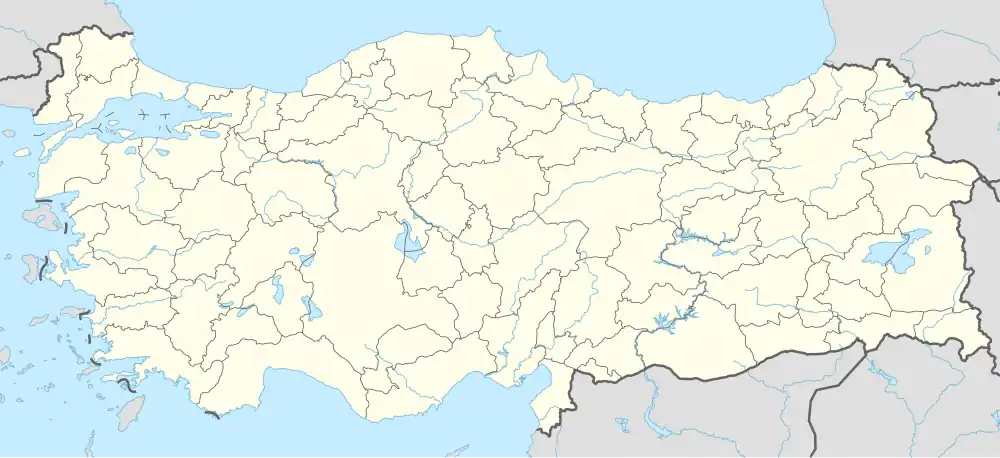 Yalova District Location in Turkey 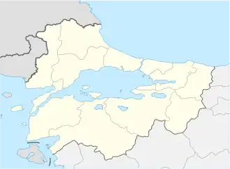 Yalova District Yalova District (Marmara) | |
| Coordinates: 40°39′N 29°16′E / 40.650°N 29.267°E | |
| Country | Turkey |
| Province | Yalova |
| Seat | Yalova |
Area | 139 km2 (54 sq mi) |
| Population (2022) | 156,732 |
| • Density | 1,100/km2 (2,900/sq mi) |
| Time zone | UTC+3 (TRT) |
Yalova District (also: Merkez, meaning "central" in Turkish) is a district of the Yalova Province of Turkey. Its seat is the city of Yalova.[1] Its area is 139 km2,[2] and its population is 156,732 (2022).[3]
Composition
There are two municipalities in Yalova District:[1][4]
There are 11 villages in Yalova District:[5]
- Elmalık
- Esadiye
- Güneyköy
- Hacımehmet
- Kazımiye
- Kirazlı
- Kurtköy
- Safran
- Samanlı
- Soğucak
- Sugören
References
- ^ a b İl Belediyesi Archived 2015-07-06 at the Wayback Machine, Turkey Civil Administration Departments Inventory. Retrieved 22 May 2023.
- ^ "İl ve İlçe Yüz ölçümleri". General Directorate of Mapping. Retrieved 22 May 2023.
- ^ "Address-based population registration system (ADNKS) results dated 31 December 2022, Favorite Reports" (XLS). TÜİK. Retrieved 22 May 2023.
- ^ Belde Belediyesi Archived 2015-07-06 at the Wayback Machine, Turkey Civil Administration Departments Inventory. Retrieved 22 May 2023.
- ^ Köy Archived 2015-07-06 at the Wayback Machine, Turkey Civil Administration Departments Inventory. Retrieved 22 May 2023.
Yalova District in Yalova Province of Turkey | |||||||||||||||||||||||||||
|---|---|---|---|---|---|---|---|---|---|---|---|---|---|---|---|---|---|---|---|---|---|---|---|---|---|---|---|
| Districts |  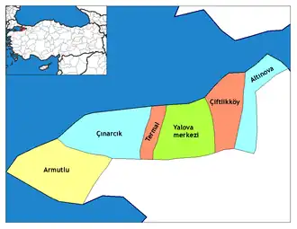 | ||||||||||||||||||||||||||
|
Metropolitan municipalities are bolded. | |||||||||||||||||||||||||||
| Municipalities | |
|---|---|
| Villages |
|