Yablunivka, Sumy Oblast
Yablunivka
Яблунівка | |
|---|---|
Village | |
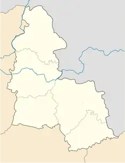 Yablunivka Location of Yablunivka 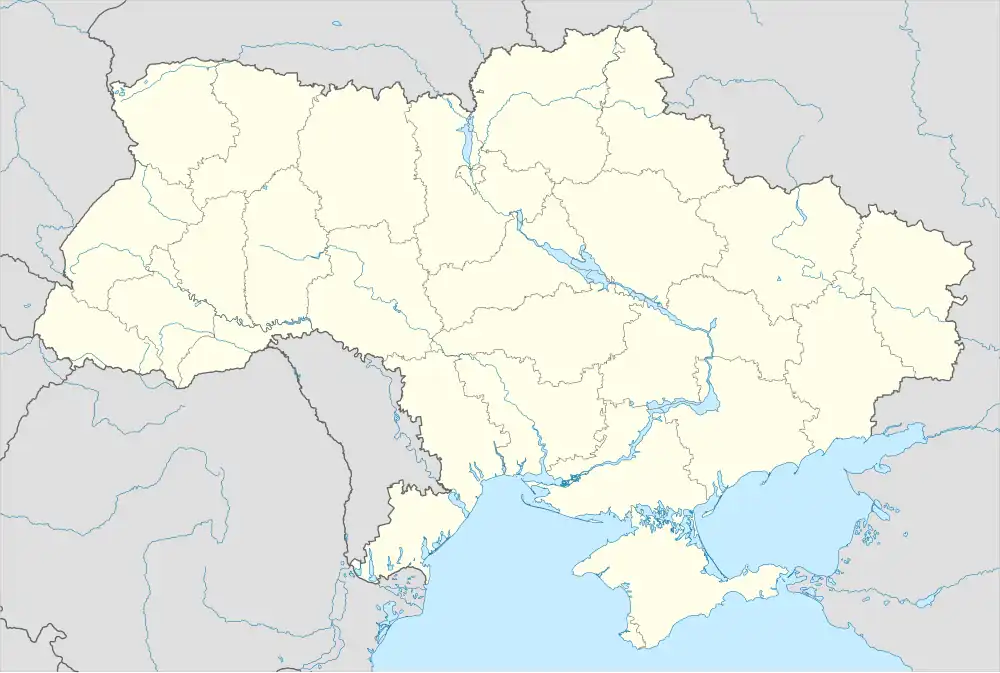 Yablunivka Yablunivka (Ukraine) | |
| Coordinates: 51°8′21″N 34°58′22″E / 51.13917°N 34.97278°E | |
| Country | |
| Oblast | Sumy Oblast |
| Raion | Sumy Raion |
| Hromada | Yunakivka rural hromada |
| Elevation | 212 m (696 ft) |
| Population (2001)[2] | |
• Total | 168 |
| Time zone | UTC+2 |
| • Summer (DST) | UTC+3 |
| Postal code | 42335 |
| Area code | +380 542 |
Yablunivka is a village in Ukraine, in Yunakivka rural hromada, Sumy Raion, Sumy Oblast. Until 2020, the local government body was Kyjanytsia Village Council.
Geography
The village of Yablunivka is located near the sources of the Snagist River. At a distance of up to 3 km are the villages of Bilovody, Yunakivka and the village of Varachyne. The H07 highway passes nearby.
History
Until 2016, the village was called Chervonopraporne.[3]
On June 12, 2020, in accordance with the Resolution of the Cabinet of Ministers of Ukraine No. 723-r "On the Determination of Administrative Centers and Approval of Territories of Territorial Communities of Sumy Region", it became part of the Yunakivka rural hromada.[4]
On July 19, 2020, as a result of the administrative-territorial reform and liquidation of the Sumy Raion (1923—2020), the village became part of the newly formed Sumy Raion.[5]
During the Russo-Ukrainian War, Russian forces first reached the village on 7 June 2025.[6] Russian forces captured the village on 20 July 2025.[7]
Demographics
According to the 2001 Ukrainian census, the village's population was 168 people.[2] The main languages of the village were:[8]
- Ukrainian 84.52%
- Russian 7.74%
- Belarusian 5.36%
- Other/not specified 2.38%
References
- ^ "Chervonopraporne". weather.in.ua. Retrieved 14 August 2025.
- ^ a b "Table: 19A0501_07_059. Number of actual population in rural areas, Sumska oblast (1,2,3,4)". Retrieved 14 August 2025.
- ^ "Розпорядження Кабінету Міністрів України № 723-р «Про визначення адміністративних центрів та затвердження територій територіальних громад Сумської області»". kmu.gov.ua (in Ukrainian). Retrieved 2025-08-14.
- ^ "Кабінет Міністрів України - Про визначення адміністративних центрів та затвердження територій територіальних громад Сумської області". www.kmu.gov.ua (in Ukrainian). Archived from the original on 25 October 2021. Retrieved 2025-08-14.
- ^ "Постанова Верховної Ради України від" (in Ukrainian). 2020-07-17. Retrieved 2025-08-14.
- ^ "Institute for the Study of War". Institute for the Study of War. 2025-06-07. Retrieved 2025-08-14.
- ^ "Institute for the Study of War". Institute for the Study of War. 2025-07-20. Retrieved 2025-08-14.
- ^ "Table: 19A0501_07_059. Number of actual population in rural areas, Sumska oblast (1,2,3,4)". Retrieved 14 August 2025.