Wonderboom South, Pretoria
Wonderboom South | |
|---|---|
 | |
 Wonderboom South 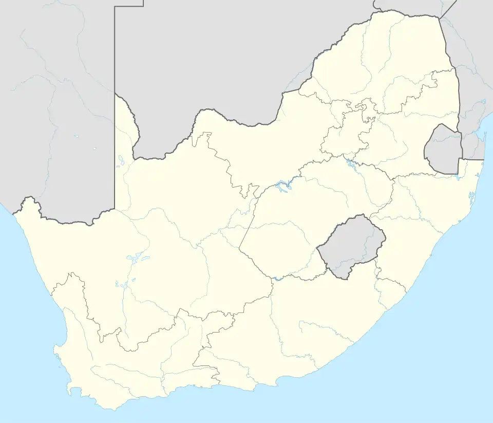 Wonderboom South | |
| Coordinates: 25°42′0″S 28°12′0″E / 25.70000°S 28.20000°E | |
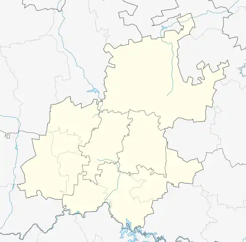
| Country | South Africa |
| Province | Gauteng |
| Municipality | City of Tshwane |
| Main Place | Pretoria |
| Named after | Wonderboom (tree) |
| Area | |
• Total | 3.32 km2 (1.28 sq mi) |
| Population (2011)[1] | |
• Total | 10,347 |
| • Density | 3,100/km2 (8,100/sq mi) |
| Racial makeup (2011) | |
| • Black African | 16.1% |
| • Coloured | 1.8% |
| • Indian/Asian | 1.3% |
| • White | 78.9% |
| • Other | 1.9% |
| First languages (2011) | |
| • Afrikaans | 75.5% |
| • English | 9.5% |
| • Tswana | 2.3% |
| • Northern Sotho | 2.0% |
| • Other | 10.7% |
| Time zone | UTC+2 (SAST) |
| Postal code (street) | 0084 |
| PO box | n/a |
| Area code | 012 |
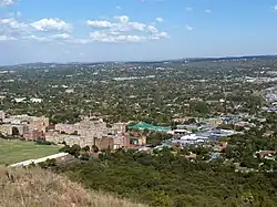
Wonderboom South is a northern residential suburb of Pretoria, South Africa. It lies to the south of Wonderboom and the Wonderboom tree itself, on the southern slopes of the northern range of the Magaliesberg mountains.
References
- ^ a b c d "Sub Place Wonderboom South". Census 2011.
.svg.png)