Weliman
Weliman | |
|---|---|
OpenStreetMap | |
 Weliman 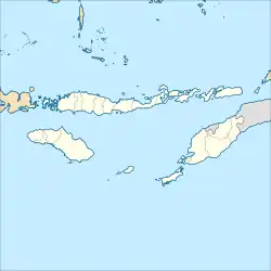 Weliman 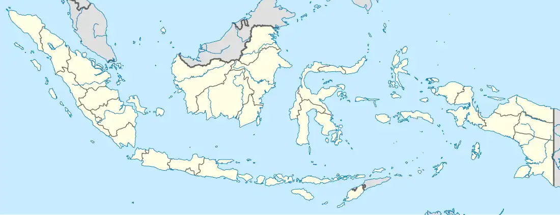 Weliman | |
| Coordinates: 9°37′52.24116″S 124°51′51.22775″E / 9.6311781000°S 124.8642299306°E | |
| Country | |
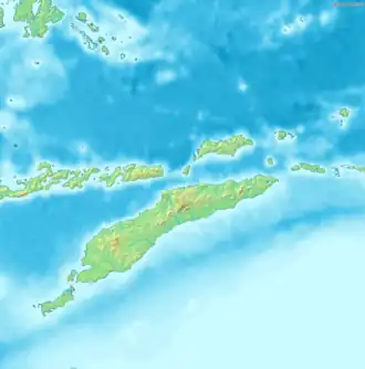
| Region | Lesser Sunda Islands |
| Province | East Nusa Tenggara |
| Regency | Malaka |
| District seat | Laleten |
| Area | |
• Total | 88.25 km2 (34.07 sq mi) |
| Population (2023)[1] | |
• Total | 24,126 |
| • Density | 270/km2 (710/sq mi) |
| Time zone | UTC+8 (ICT) |
| Villages | 14 |
Weliman is a district in Malaka Regency, East Nusa Tenggara, Indonesia.[2] In 2023, this district had a population of 24,126 people with an area of 88.25 km2.[1]
Governance
Villages
Administratively, Weliman District consists of 14 villages, namely:[1]
| Regional code (Kode wilayah) |
Name | Area (km2) |
Population (2023) |
RW (rukun warga) |
RT (rukun tetangga) |
|---|---|---|---|---|---|
| 53.21.04.2001 | Wesey | 8.62 | 971 | 5 | 10 |
| 53.21.04.2002 | Haitimuk | 7.33 | 3,009 | 14 | 28 |
| 53.21.04.2003 | Laleten | 12.79 | 2,242 | 9 | 18 |
| 53.21.04.2004 | Kleseleon | 6.51 | 1,424 | 4 | 9 |
| 53.21.04.2005 | Angkaes | 8.44 | 1,801 | 8 | 16 |
| 53.21.04.2006 | Wederok | 8.71 | 1,551 | 7 | 16 |
| 53.21.04.2007 | Lamudur | 8.00 | 1,282 | 5 | 10 |
| 53.21.04.2008 | Forekmodok | 5.08 | 1,608 | 5 | 12 |
| 53.21.04.2009 | Umalawain | 2.00 | 1,983 | 6 | 12 |
| 53.21.04.2010 | Lakulo | 9.73 | 2,553 | 9 | 18 |
| 53.21.04.2011 | Leunklot | 3.42 | 1,694 | 9 | 15 |
| 53.21.04.2012 | Haliklaran | 2.26 | 1,832 | 6 | 12 |
| 53.21.04.2013 | Bonetasea | 2.26 | 1,200 | 5 | 10 |
| 53.21.04.2014 | Taaba | 3.10 | 976 | 6 | 12 |
| Totals | 88.25 | 24,126 | 98 | 198 |
References
- ^ a b c d "Kecamatan Weliman Dalam Angka 2024". malakakab.bps.go.id. Retrieved 2025-08-11.
- ^ "Kepmendagri Nomor 050-145 Tahun 2022". Archive.org. Retrieved 2025-02-14.