Wannig (river)
| Wannig | |
|---|---|
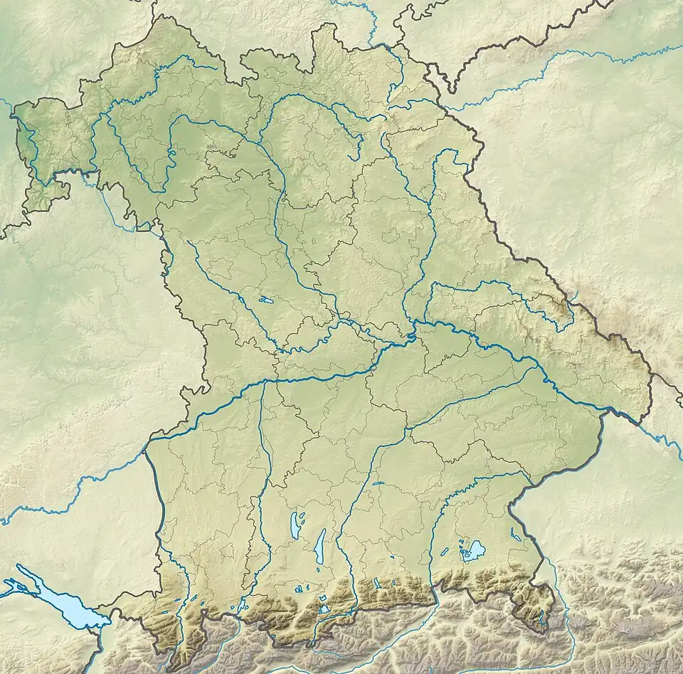 Mouth location in Bavaria, Germany | |
| Etymology | Possibly from Old High German wannen (“to curve”) |
| Native name | Wannigsbach (German) |
| Location | |
| Country | Germany |
| State | Bavaria |
| District | Bad Kissingen |
| Physical characteristics | |
| Source | North of Münnerstadt |
| • coordinates | 50°15′36″N 10°12′36″E / 50.2600°N 10.2100°E |
| • elevation | 290 m (950 ft) |
| Mouth | Lauer |
• location | Brünn, Münnerstadt |
• coordinates | 50°14′10″N 10°14′18″E / 50.2361°N 10.2383°E |
• elevation | 242 m (794 ft) |
| Length | 8.1 km (5.0 mi) |
| Basin size | 46.24 km2 (17.85 sq mi) |
| Basin features | |
| Progression | Lauer→Main→Rhine |
| River system | Rhine basin |
| Tributaries | |
| • left | Kleine Wannig |
| • right | Seegraben, Dürrenwiesengraben |
The Wannig, locally known as the Wannigsbach, is a small river in Lower Franconia in the Bavarian district of Bad Kissingen. It is a right‑bank tributary of the Lauer and ultimately part of the Rhine drainage basin.
Course
The Wannig rises at about 290 metres (950 ft) above sea level in the hills north of Münnerstadt. It flows generally southwest for approximately 8.1 kilometres (5.0 mi) through the agricultural and wooded landscape of the Grabfeld region before joining the Lauer near the village of Brünn.[1]
Tributaries
- Left: Kleine Wannig
- Right: Seegraben, Dürrenwiesengraben
Hydrology
The Wannig’s catchment area covers about 46.24 square kilometres (17.85 sq mi). Flow is seasonal, with highest discharges in spring from snowmelt and rainfall.[2][3]
Ecology
The river supports typical Central European freshwater fauna and flora, for example:[4][5]
- Fish: Brown trout (Salmo trutta), European chub (Squalius cephalus)
- Plants: Water crowfoot (Ranunculus aquatilis), reeds along the banks
Local conservation initiatives aim to maintain high water quality and reduce agricultural runoff.
Human use
Historically, the Wannig powered several water mills (notably the Wannigsmühle). Today its uses include:[6]
- Agricultural irrigation
- Recreational fishing
- Local water supply
See also
References
- ^ "BayernAtlas – Fließgewässer und Einzugsgebiete". Geoportal Bayern. Retrieved 20 July 2025.
Fließgewässer im Bereich Münnerstadt, einschließlich des Zuflusses Wannig.
- ^ "Bach- und Flussgebiete – Einzugsgebiete Bayern". Bayerisches Landesamt für Umwelt. Retrieved 20 July 2025.
Einzugsgebiet der Wannig: 46,24 km².
- ^ "Wasserstand Münnerstadt / Lauer – Hochwassernachrichtendienst Bayern". Hochwassernachrichtendienst Bayern. Retrieved 20 July 2025.
Pegelstand-Daten für die Lauer und ihre Zuflüsse, einschließlich Wannig.
- ^ "Wasser Bäche und Flüsse in Bayern". Bayerisches Landesamt für Umwelt. Retrieved 20 July 2025.
Bayerische Fließgewässer bieten Lebensraum für Fischarten wie Bachforelle und Döbel sowie Wasserpflanzen wie Wasserhahnenfuß.
- ^ "Lebendige Bäche in Bayern – Praxisbroschüre" (PDF). LBV – Landesbund für Vogelschutz. Retrieved 20 July 2025.
Maßnahmen zum Schutz kleiner bayerischer Fließgewässer.
- ^ "Geschichte – Mürscht (Münnerstadt)". Mürscht.de. Retrieved 20 July 2025.
Früher trieb die Wannig mehrere Mühlen an, darunter die Wannigsmühle.