Waniewo, Wysokie Mazowieckie County
Waniewo | |
|---|---|
Village | |
 | |
 Waniewo | |
| Coordinates: 53°4′N 22°48′E / 53.067°N 22.800°E | |
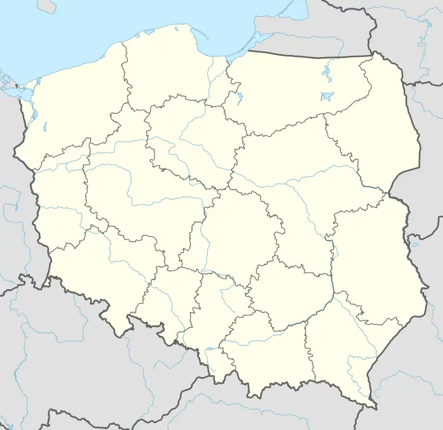
| Country | |
| Voivodeship | Podlaskie |
| County | Wysokie Mazowieckie |
| Gmina | Sokoły |
| Population | |
• Total | 200 |
| Time zone | UTC+1 (CET) |
| • Summer (DST) | UTC+2 (CEST) |
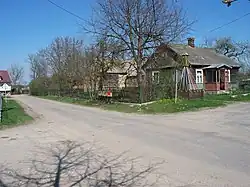
Waniewo [vaˈɲɛvɔ] is a village in the administrative district of Gmina Sokoły, within Wysokie Mazowieckie County, Podlaskie Voivodeship, in north-eastern Poland.[1] It lies approximately 11 km (7 mi) north-east of Sokoły, 26 km (16 mi) north-east of Wysokie Mazowieckie, and 26 km (16 mi) west of the regional capital Białystok.
_-_Platforma_na_rzece_Narew.JPG)
History
It was a private town, administratively located in the Bielsk County in the Podlaskie Voivodeship in the Lesser Poland Province of the Kingdom of Poland.[2]
Following the German-Soviet invasion of Poland, which started World War II in September 1939, the town was occupied by the Soviet Union until 1941, and then by Nazi Germany until 1944.
References
- ^ "Główny Urząd Statystyczny" [Central Statistical Office] (in Polish). To search: Select "Miejscowości (SIMC)" tab, select "fragment (min. 3 znaki)" (minimum 3 characters), enter town name in the field below, click "WYSZUKAJ" (Search).
- ^ Atlas historyczny Polski. Województwo podlaskie w drugiej połowie XVI wieku. Część I. Mapy, plany (in Polish). Warszawa: Instytut Historii Polskiej Akademii Nauk. 2021. p. 1.