Walton, Staffordshire
| Walton | |
|---|---|
 Walton Priory Middle School and skyline of Walton | |
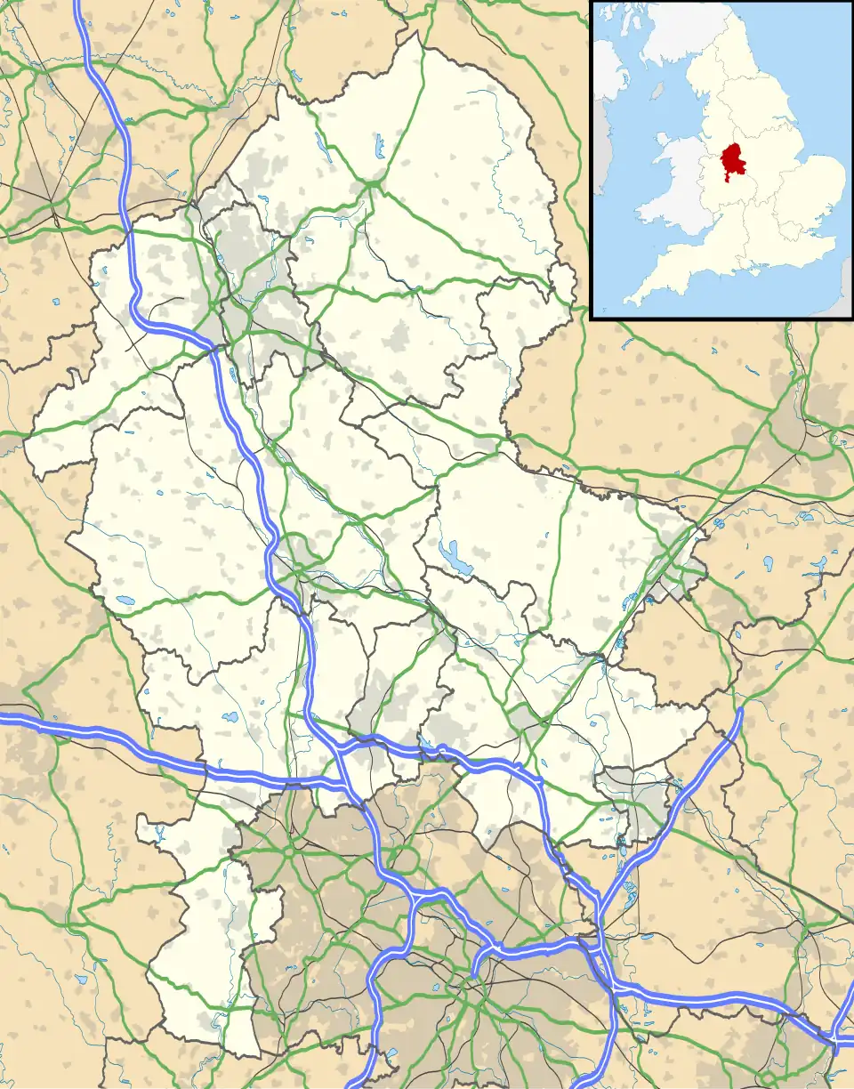 Walton Location within Staffordshire | |
| Population | 7,048 (2021 Census)[1] |
| OS grid reference | SJ902329 |
| • London | 150 mi (240 km) SSE |
| Civil parish | |
| District | |
| Shire county | |
| Region | |
| Country | England |
| Sovereign state | United Kingdom |
| Post town | STONE |
| Postcode district | ST15 |
| Dialling code | 01785 |
| Police | Staffordshire |
| Fire | Staffordshire |
| Ambulance | West Midlands |
| UK Parliament | |
Walton is a historic village and suburb of Stone in the Borough of Stafford in Staffordshire, England. It is located to the south of Stone. It is separated from the town by the River Trent and A34 road/The Fillybrooks. It had a population of 7,048 in the 2021 Census. It is located 11 miles (18 km) south of Stoke-on-Trent, 7 miles (11 km) northwest of Stafford, 6 miles (9.7 km) northeast of Eccleshall and 10 miles (16 km) southeast of Newcastle-under-Lyme.
History
Walton is mentioned in the Domesday Book as "Walton".[2] Its entry places it in the Pirehill Hundred of Staffordshire and the southern division of it. Its entry in the book reads as follows:
Land of Robert of Stafford
Households Households: 7 villagers. 2 smallholders. 5 slaves. 1 priest.
Land and resources Ploughland: 6 ploughlands. 1 lord's plough teams. 4 men's plough teams. Other resources: 1.0 new lands. Meadow 2 * 1 furlongs. Woodland 2 * 1 furlongs.
Valuation Annual value to lord: 3 pounds in 1086.
Owners Tenant-in-chief in 1086: Robert of Stafford. Lord in 1086: Arnold <of Walton>.
Lord in 1066: Aki.
— Open Domesday, Walton, Walton was a settlement in Domesday Book, in the hundred of Pirehill and the county of Staffordshire. It had a recorded population of 15 households in 1086.

Additionally, it was originally named as "Waletone" or "Walton (in Stone) before reverting back to its original name "Walton". Thus showing the different names given to the village in its early origins.[3]
Walton Grange was rebuilt in 1860 and stood close to the junction of Stafford Road. It was occupied by Robert McVitie, the owner and founder of McVitie's. He resided at Walton Grange during the 1891 UK census. The house was later occupied by Colonel Barratt Green during the mid 20th century before it was finally demolished in the early 1970's and later redeveloped for flats. The only trace of the original grange is Walton Bridge and the original servant cottages.[4]
Geography
The area is located just under a mile from Stone town centre. It is also middway between Stafford, Newcastle-under-Lyme, Stoke-on-Trent and Eccleshall. It is also close to the villages of Aston-By-Stone, Barlaston, Meaford, Norton Bridge, Swynnerton, Tittensor and Yarnfield.
Transport
The nearest railway stations are Stone, Stoke-on-Trent and Stafford. Additionally the area is served by buses connecting it to Stone, Trentham, Hanley, Newcastle-under-Lyme, Stoke-on-Trent, Stafford, Eccleshall and other local localities of Stone.[5]
Local landmarks
- Walton House - This house dates back to the 16th Century and features 17th century claddering and a late 19th Century rear extension. It is built in Georgian Style and was given Grade II* in March 1949 by Historic England.[6] It is located off Stafford Road.
- The Lamb Inn (2nd) - This pub was opened after the closure of the original Lamb Inn pub. The original pub was first opened in 1901 by local Lewis Proudman. The original location was just off Lamb Lane.[7] The pub later closed and demolished in the 1960s. With the licence for the original pub being transferred to the modern-day pub off Walton Way/Eccleshall Road in 1974.[8]
- The Wayfarer - This pub and restaurant was originally opened as the "Fillybrooks Hotel", named after the adjacent golf course of the same name. It opened in 1935 as a hotel.[9] It later became a pub and restaurant. It was in 2012 given recognition as the "best brasserie/contemporary pub in Staffordshire" by a Taste of Staffordshire Good Foods Awards.[10]
References
- ^ "Walton (Ward, United Kingdom) - Population Statistics, Charts, Map and Location". citypopulation.de. Retrieved 16 July 2025.
- ^ "Walton | Domesday Book". opendomesday.org. Retrieved 16 July 2025.
- ^ Archives, The National. "Place name: Walton ,Stone, Staffordshire Folio: 248v Great Domesday Book ..." The National Archives. Retrieved 16 July 2025.
- ^ "Walton Grange, Stone". www.search.staffspasttrack.org.uk. Retrieved 16 July 2025.
- ^ "Walton, Stone – Bus Times". bustimes.org. Retrieved 16 July 2025.
- ^ "WALTON HOUSE AND ATTACHED WALLS, Stone - 1219285 | Historic England". historicengland.org.uk. Retrieved 16 July 2025.
- ^ "Lamb, Walton, Stone". CAMRA - The Campaign for Real Ale. Retrieved 16 July 2025.
- ^ "Lamb Inn, Stone". whatpub.com. Retrieved 16 July 2025.
- ^ "Our Story | The Wayfarer | Stone, Staffordshire". The Wayfarer Stone. Retrieved 16 July 2025.
- ^ Reply, Jon Cook 13 years ago (3 October 2012). "The Wayfarer: best brasserie in Staffs > A Little Bit of Stone". alittlebitofstone.com. Retrieved 16 July 2025.
{{cite web}}: CS1 maint: numeric names: authors list (link)