Vretstorp
Vretstorp | |
|---|---|
Clockwise from top
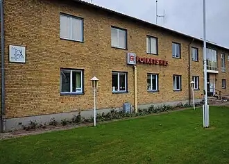
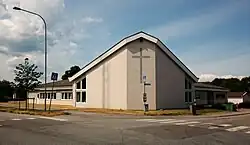
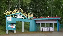
People's House, Crystal Church, and Vretstorp People's park | |
 Vretstorp  Vretstorp | |
| Coordinates: 59°02′N 14°52′E / 59.033°N 14.867°E | |
| Country | Sweden |
| Province | Närke |
| County | Örebro County |
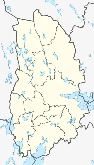
| Municipality | Hallsberg Municipality |
| Area | |
• Total | 1.83 km2 (0.71 sq mi) |
| Population (31 December 2010)[1] | |
• Total | 842 |
| • Density | 460/km2 (1,200/sq mi) |
| Time zone | UTC+1 (CET) |
| • Summer (DST) | UTC+2 (CEST) |
Vretstorp is a town in Sweden. It is located in Hallsbergs Kommun and Örebro län county, in the southern part of the country, 190 km west of the capital Stockholm. Vretstorp is located 65 meters above sea level, and has a population of 841.
The land around Vretstorp is mostly flat. Vretstorp is located in a valley.
The highest point in the area is 156 metres (511 ft) above sea level and is 2.1 km (1.3 mi) south of Vretstorp.
There are about 12 people per square kilometre ( 0.5 mi ) around Vretstorp and the area is sparsely populated. The nearest larger town is Hallsberg , 14.3 km (8 mi) east of Vretstorp. The area around Vretstorp is almost entirely covered in mixed forest.
In the region around Vretstorp, lakes are quite common.
Climate
The average temperature is 4 °C. The warmest month is July, at 16 °C, and the coldest is February, at −8 °C.
Demographics
| City | Population |
|---|---|
| 1960 | |
| 1965 | |
| 1970 | |
| 1975 | |
| 1980 | |
| 1990 | |
| 1995 | |
| 2000 | |
| 2005 | |
| 2010 | |
| 2015 |
References
- ^ a b "Tätorternas landareal, folkmängd och invånare per km2 2005 och 2010" (in Swedish). Statistics Sweden. 14 December 2011. Archived from the original on 2012-01-27. Retrieved 10 January 2012.
- ^ "Landareal per tätort, folkmängd och invånare per kvadratkilometer. Vart femte år 1960 - 2016". statistikdatabasen.scb.se. 2016. Archived from the original on 2017-06-13. Retrieved 2024-02-14.