Vinkeveen
Vinkeveen | |
|---|---|
Village | |
 Canal access to houses | |
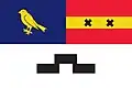 Flag 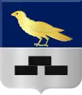 Coat of arms | |
 Vinkeveen Location in the Netherlands 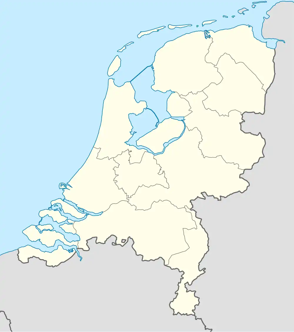 Vinkeveen Vinkeveen (Netherlands) | |
| Coordinates: 52°12′46″N 4°55′38″E / 52.21278°N 4.92722°E | |
| Country | Netherlands |
| Province | Utrecht |
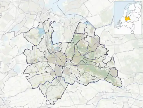
| Municipality | De Ronde Venen |
| Area | |
• Total | 25.58 km2 (9.88 sq mi) |
| Elevation | −1.8 m (−5.9 ft) |
| Population (2023)[1] | |
• Total | 9,545 |
| • Density | 370/km2 (970/sq mi) |
| Time zone | UTC+1 (CET) |
| • Summer (DST) | UTC+2 (CEST) |
| Postal code | 3645[1] |
| Dialing code | 0297 |
Vinkeveen is a village in the Dutch province of Utrecht. It is a part of the municipality of De Ronde Venen, and lies about 18 km south of Amsterdam.
Vinkeveen used to be a separate municipality. It merged with Waverveen in 1841, to form the municipality Vinkeveen en Waverveen. In 1989 there was a reorganisation of local governments, and Vinkeveen became a part of De Ronde Venen.[3]
The Vinkeveense Plassen (Lakes of Vinkeveen), an area of lakes and sand islands east of the village, is an important recreational area, with facilities for swimming, diving and yachting.[3] A permit is required for recreational diving in the lake. There is a marina on the north shore of the lakes.
History
It was first mentioned between 1395 and 1396 as Vinkenveen, and means "moorland with low quality peat".[4] The village started as a peat excavation settlement.[5] In 1840, it was home to 903 people.[3] The Catholic Holy Heart Church was built between 1880 and 1883.[5]
Gallery
-
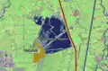 Satellite image of Vinkeveen and the Vinkeveense Plassen, retrieved in October, 2005 -- note that as of August 2021, the boundaries of Vinkeveen have expanded, considerably.
 -
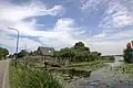 The landscape with wide waters and narrow roads in the hamlet of Demmerik in Vinkeveen Gem De Ronde Venen.
 -
 A church in Vinkeveen
 -
 An historical monument in Vinkeveen
References
- ^ a b c "Kerncijfers wijken en buurten 2021". Central Bureau of Statistics. Retrieved 28 March 2022.
two entries
- ^ "Postcodetool for 1427AA". Actueel Hoogtebestand Nederland (in Dutch). Het Waterschapshuis. Archived from the original on 21 September 2013. Retrieved 28 March 2022.
- ^ a b c "Vinkeveen". Plaatsengids (in Dutch). Retrieved 28 March 2022.
- ^ "Vinkeveen - (geografische naam)". Etymologiebank (in Dutch). Retrieved 28 March 2022.
- ^ a b Ronald Stenvert & Chris Kolman (1996). "Amstelhoek" (in Dutch). Zwolle: Waanders. ISBN 90 400 9757 7. Retrieved 28 March 2022.