Victor, California
Victor | |
|---|---|
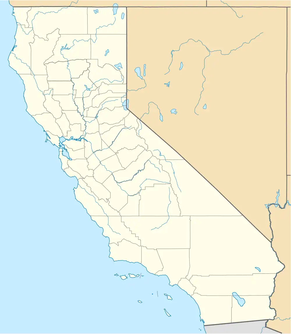 Victor Position in California. | |
| Coordinates: 38°08′19″N 121°11′56″W / 38.13861°N 121.19889°W | |
| Country | US |
| State | |
| County | San Joaquin |
| Area | |
• Total | 1.263 sq mi (3.271 km2) |
| • Land | 1.263 sq mi (3.271 km2) |
| • Water | 0 sq mi (0 km2) 0% |
| Elevation | 79 ft (24 m) |
| Population (2020) | |
• Total | 313 |
| • Density | 250/sq mi (96/km2) |
| Time zone | UTC-8 (Pacific (PST)) |
| • Summer (DST) | UTC-7 (PDT) |
| ZIP code | 95253 |
| Area code | 209 |
| GNIS feature ID | 2583176 |
| U.S. Geological Survey Geographic Names Information System: Victor, California | |
Victor is a census-designated place and community in San Joaquin County, California, United States.[2] The population was 313 at the 2020 census, up from 293 at the 2010 census.
The ZIP Code is 95253, and the settlement is inside area code 209.
Geography
According to the United States Census Bureau, the CDP covers an area of 1.3 square miles (3.3 km2), all of it land.
Demographics
The 2020 United States census reported that Victor had a population of 313. The population density was 247.8 inhabitants per square mile (95.7/km2). The racial makeup was 148 (47.3%) White, 0 (0.0%) African American, 5 (1.6%) Native American, 8 (2.6%) Asian, 3 (1.0%) Pacific Islander, 79 (25.2%) from other races, and 70 (22.4%) from two or more races. Hispanic or Latino of any race were 185 persons (59.1%).[3]
The whole population lived in households. There were 118 households, out of which 35 (29.7%) had children under the age of 18 living in them, 71 (60.2%) were married-couple households, 3 (2.5%) were cohabiting couple households, 23 (19.5%) had a female householder with no partner present, and 21 (17.8%) had a male householder with no partner present. 28 households (23.7%) were one person, and 9 (7.6%) were one person aged 65 or older. The average household size was 2.65.[3] There were 87 families (73.7% of all households).[4]
The age distribution was 93 people (29.7%) under the age of 18, 26 people (8.3%) aged 18 to 24, 69 people (22.0%) aged 25 to 44, 84 people (26.8%) aged 45 to 64, and 41 people (13.1%) who were 65 years of age or older. The median age was 39.2 years. For every 100 females, there were 101.9 males.[3]
There were 123 housing units at an average density of 97.4 units per square mile (37.6 units/km2), of which 118 (95.9%) were occupied. Of these, 113 (95.8%) were owner-occupied, and 5 (4.2%) were occupied by renters.[3]
Politics
In the state legislature, Victor is in the 5th Senate District, represented by Democratic Cathleen Galgiani, and in the 12th Assembly District, represented by Republican Kristin Olsen.
Federally, Victor is in California's 9th congressional district, represented by Democrat Josh Harder.[5]
The town's mayor is local farmer and business owner, Dawson Perry.
References
- ^ "2020 U.S. Gazetteer Files". United States Census Bureau. Retrieved July 12, 2025.
- ^ a b U.S. Geological Survey Geographic Names Information System: Victor, California
- ^ a b c d "Victor CDP, California; DP1: Profile of General Population and Housing Characteristics - 2020 Census of Population and Housing". US Census Bureau. Retrieved July 12, 2025.
- ^ "Victor CDP, California; P16: Household Type - 2020 Census of Population and Housing". US Census Bureau. Retrieved July 12, 2025.
- ^ "California's 9th Congressional District - Representatives & District Map". Civic Impulse, LLC. Retrieved March 12, 2013.
Municipalities and communities of San Joaquin County, California, United States | ||
|---|---|---|
| Cities |  | |
| Census-designated places | ||
| Unincorporated communities | ||
| Ghost towns | ||