Varangéville
Varangéville | |
|---|---|
 The church in Varangéville | |
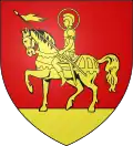 Coat of arms | |
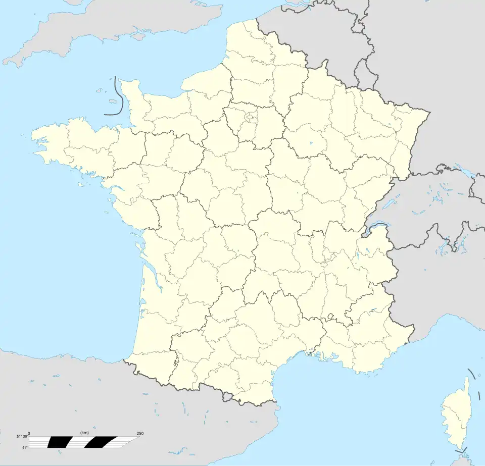
Location of Varangéville | |
 Varangéville 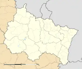 Varangéville | |
| Coordinates: 48°38′02″N 6°18′49″E / 48.6339°N 6.3136°E | |
| Country | France |
| Region | Grand Est |
| Department | Meurthe-et-Moselle |
| Arrondissement | Nancy |
| Canton | Lunéville-1 |
| Intercommunality | CC Pays du Sel et du Vermois |
| Government | |
| • Mayor (2020–2026) | Christopher Varin[1] |
Area 1 | 12.04 km2 (4.65 sq mi) |
| Population (2022)[2] | 3,555 |
| • Density | 300/km2 (760/sq mi) |
| Time zone | UTC+01:00 (CET) |
| • Summer (DST) | UTC+02:00 (CEST) |
| INSEE/Postal code | 54549 /54110 |
| Elevation | 197–323 m (646–1,060 ft) (avg. 207 m or 679 ft) |
| 1 French Land Register data, which excludes lakes, ponds, glaciers > 1 km2 (0.386 sq mi or 247 acres) and river estuaries. | |
Varangéville (French pronunciation: [vaʁɑ̃ʒevil]) is a commune in the Meurthe-et-Moselle département in north-eastern France.
Population
| Year | Pop. | ±% p.a. |
|---|---|---|
| 1968 | 4,385 | — |
| 1975 | 4,301 | −0.28% |
| 1982 | 4,126 | −0.59% |
| 1990 | 4,001 | −0.38% |
| 1999 | 4,241 | +0.65% |
| 2007 | 4,103 | −0.41% |
| 2012 | 3,861 | −1.21% |
| 2017 | 3,652 | −1.11% |
| Source: INSEE[3] | ||
Inhabitants of Varangéville are known as Varangévillois(e)s in French.
Social Housing
In 1963, many social housing projects were built to accommodate repatriates from Algeria, following the independence of many former French possessions around the world.[4]
See also
References
- ^ "Répertoire national des élus: les maires". data.gouv.fr, Plateforme ouverte des données publiques françaises (in French). 9 August 2021.
- ^ "Populations de référence 2022" (in French). The National Institute of Statistics and Economic Studies. 19 December 2024.
- ^ Population en historique depuis 1968, INSEE
- ^ "fin des HLM fait rémonter les souvenirs chez les habitants". L'est Républicain. 5 August 2025. Retrieved 6 August 2025.
Wikimedia Commons has media related to Varangéville.