Vanishing Falls (Tasmania)
| Vanishing Falls | |
|---|---|
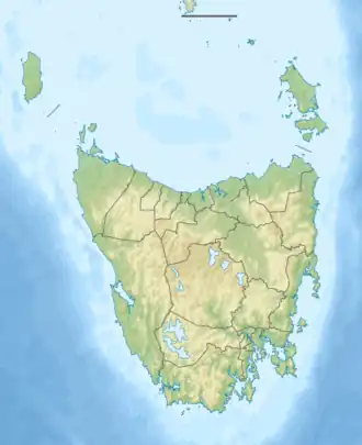 | |
| Location | South West Tasmania, Australia |
| Coordinates | 43°23′33″S 146°38′11″E / 43.39250°S 146.63639°E[1] |
| Type | Ledge |
| Elevation | 390m[1] |
| Total height | 70 metres (230 ft)[2] |
| Watercourse | Salisbury River |
Vanishing Falls is a ledge waterfall in South West Tasmania, Australia that drains into a sinkhole. It is on the Salisbury River in the Southwest National Park.
Description
At Vanishing Falls, the Salisbury River flows over a dolerite plateau underlain by limestone. The river flows over the edge of the dolerite sill and drains straight into a cave system in the limestone, a phenomenon attributed to karst processes. The above-ground channel downstream of the plunge pool flows only during floods.[3]
The Salisbury River is a tributary of the New River.[1]
Access
The falls are surrounded by dense scrub and are located in remote wilderness, accordingly there are no designated trails leading to the falls.[4][2]
See also
References
- ^ a b c "the LIST Map". Land Information System Tasmania (theLIST), Government of Tasmania. Search "Vanishing Falls". Retrieved 28 May 2017.
- ^ a b Dixon, Grant; Sharples, Chris (1986). "Reconnaissance Geological Observations on Precambrian and Palaeozoic Rocks of the New and Salisbury Rivers, Southern Tasmania" (PDF). University of Tasmania. Archived from the original (PDF) on 14 March 2016. Retrieved 28 May 2017.
- ^ Jerie, Kathryn; Houshold, Ian; Peters, David (June 2003). "Tasmania's river geomorphology: stream character and regional analysis. Volume 1" (PDF). Department of Primary Industries, Water and Environment. Archived from the original (PDF) on 12 January 2018. Retrieved 27 May 2017.
- ^ Meyer, Robert; Smith, Howard. "Skyline No. 23 - Vanishing Falls" (PDF). Launceston Walking Club. Retrieved 27 May 2017.