Valparaíso, Zacatecas
Valparaíso, Zacatecas | |
|---|---|
| Ciudad de Valparaíso[1] | |
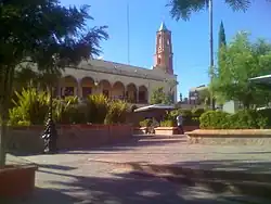 The town square located in front of the mayor's office. | |
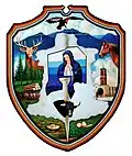 Coat of arms | |
| Nickname: Spanish: El valle (English: The valley) | |
 Valparaíso, Zacatecas 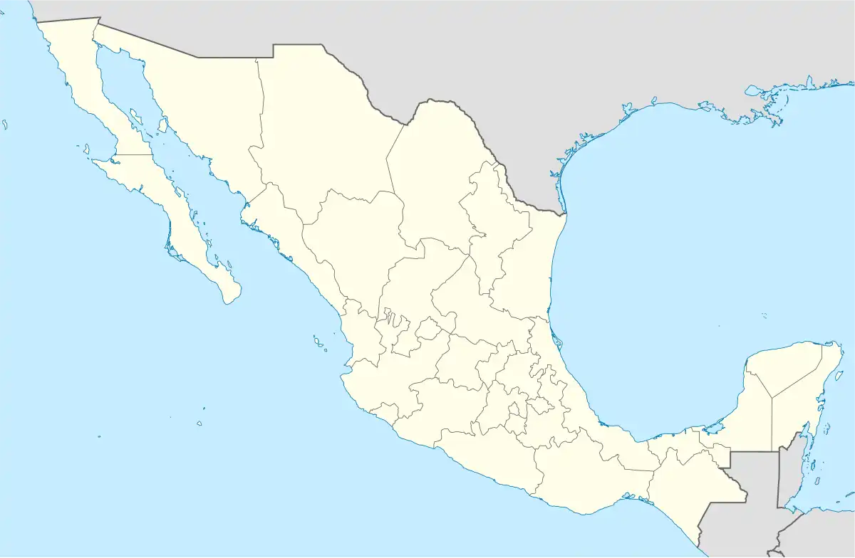 Valparaíso, Zacatecas | |
| Coordinates: 22°46′N 103°34′W / 22.767°N 103.567°W | |
| Country | |
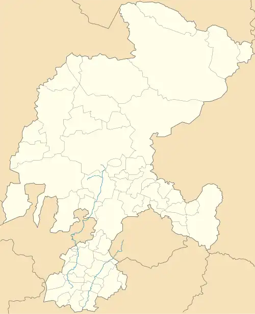
| State | Zacatecas |
| Foundation | December 8, 1568 |
| Government | |
| • Mayor | Guadalupe Ortiz |
| Elevation | 1,890 m (6,200 ft) |
| Population (2020) | |
• Total | 32,461[2] |
| • Demonym | Valparaisense |
| Time zone | UTC−6 (CST) |
| Website | Official website |
Valparaíso (Spanish pronunciation: [balpaɾaˈiso]) is a city in the north central Mexican state of Zacatecas.
Geography
It is located at 22°46′0″N 103°34′0″W / 22.76667°N 103.56667°W on the interior plateau, 70 mi/113 km E of the city of Zacatecas, at an elevation of 6200 ft/1890m.
History
Valparaíso was first a village and then hacienda along with the San Mateo and a few others formed the extensive county of Valparaíso, property of the counts of the same title one of them Don Fernando de la Campa y Cos, was a very rich man also involved in philanthropy building infrastructure for the Catholic Church. Later in 1824, Valparaiso becomes a municipality. On March 13, 1845, Valparaíso was declared a villa and in 1918 it became an independent municipality in accord with the Mexican constitution.
Economy
Valparaíso is an agricultural center for corn, wheat, chickpeas, alfalfa, chiles and beef, pork, sheep, and goat.
Notable people
- Jesús González Ortega (1822-1881), military and politician
- Manuel Felguérez (b. 1928) sculptor and painter
Twin towns
 Hanover Park (Illinois, USA), 2013
References
- ^ i.e.: "City of Valparaíso"
- ^ "Valparaíso: Economy, employment, equity, quality of life, education, health and public safety".
External links
![]() Media related to Valparaíso at Wikimedia Commons
Media related to Valparaíso at Wikimedia Commons