Umm Taqa
Umm Taqa
أُمّ طَاقَة | |
|---|---|
District | |
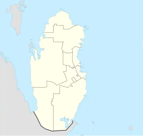 Umm Taqa Location in Qatar | |
| Coordinates: 25°18′00″N 51°05′00″E / 25.30000°N 51.08333°E[1] | |
| Country | |
| Municipality | Al-Shahaniya |
| Zone | Zone 85 |
| District no. | 587 |
| Area | |
• Total | 3.6 sq mi (9.4 km2) |

Umm Taqa (Arabic: أُمّ طَاقَة, romanized: Umm Ţāqah) is a district in central Qatar located in the municipality of Al-Shahaniya.[3][4] It is an important Palaeolithic site in the peninsula.[5]
Nearby settlements include Al Kharsaah to the south-west and Al Nasraniya to the north.[4]
Etymology
In Arabic, umm translates to "mother", and is commonly used as a prefix for geographical features. The second constituent, taqa, is derived from the Arabic tawq, which translates to "encircle". It was given this name because it is flanked by hills on all sides.[4]
History
John Gordon Lorimer mentions Umm Taqa in his 1908 manuscript of the Gazetteer of the Persian Gulf, giving its location as "14 miles south of Dohat Fashshākh and 16 miles from the west coast". He also mentions "a masonry well, 25 fathoms deep, of good water" in the area.[6]
See also
References
- ^ "Umm Ţāqah: Qatar". geographic.org. Retrieved 4 January 2019.
- ^ "Qatar districts". arcgis.com. Retrieved 5 August 2025.
- ^ "Qatar Development Atlas - Part 1" (PDF). Ministry of Development Planning and Statistics. 2010. p. 10. Archived from the original (PDF) on 18 July 2020. Retrieved 4 January 2019.
- ^ a b c "District map". The Centre for Geographic Information Systems of Qatar. Archived from the original on 20 November 2022. Retrieved 4 January 2019.
- ^ Abdul Nayeem, Muhammad (1998). Qatar Prehistory and Protohistory from the Most Ancient Times (Ca. 1,000,000 to End of B.C. Era). Hyderabad Publishers. p. 20. ISBN 9788185492049.
- ^ J. G. Lorimer (1908). "Gazetteer of the Persian Gulf. Vol. II. Geographical and Statistical. J G Lorimer. 1908' [1528] (1643/2084)". Qatar Digital Library. Retrieved 4 January 2019.
| Zone 72 |
|
|---|---|
| Zone 73 |
|
| Zone 80 |
|
| Zone 82 |
|
| Zone 84 |
|
| Zone 85 | |
| Zone 86 |
|
| Landmarks |
|