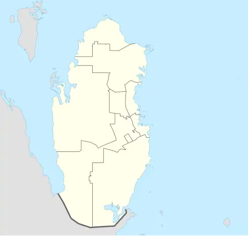
Umm Birka
Umm Birka
أُمّ بِرْكَة | |
|---|---|
 Umm Birka | |
| Coordinates: 25°45′00″N 51°26′59″E / 25.75000°N 51.44972°E | |
| Country | |
| Municipality | Al Khor |
| Zone | Zone 75 |
| District no. | 310 |
| Area | |
• Total | 58.5 km2 (22.6 sq mi) |
Umm Birka (Arabic: أُمّ بِرْكَة; also spelled Umm Baraka) is a settlement in the Al Khor municipality of Qatar.[2][3]
Etymology
Umm Birka derives its name from the Arabic word barikat, which means "blessing". It was named in reference to a local depression that would fill with water during the rainy season.[4]
History
During the winter months, residents of nearby towns such as Al Thakhira and Al Khor traditionally traveled to Umm Birka to graze their livestock and collect wild grasses due to its relative abundance of vegetation. This included species such as samma (Stipellula capensis), daqiqah (Tripleurospermum auriculatum), and thumam (Panicum turgidum), which were valued for their suitability as fodder.[5]
Geography
Umm Birka is situated in northeast Qatar. The village of Umm Al Qahab is nearby.[6]
Water reservoir
The settlement is one of five sites for the government-sponsored project to develop reservoirs in the country.[7] Once completed, the reservoirs are expected to be the largest in the world in their category,[8] with a total length of 650 km and constructed at a cost of QR 14.5 billion. In June 2018, the first phase of the project was completed.[9]
References
- ^ "District Area Map". Ministry of Development Planning and Statistics. Retrieved 20 May 2019.
- ^ "2010 population census" (PDF). Qatar Statistics Authority. Retrieved 31 July 2015.
- ^ "District map". The Centre for Geographic Information Systems of Qatar. Archived from the original on 20 November 2022. Retrieved 31 July 2015.
- ^ Amer, Ismail; Al-'Arifi, Saleh; Babiker, Ahmad Abdullah; Al-Nasr, Bassam; Abdul Karim, Nidham; Al-Kuwari, Fatima; Al-Shayb, Ali Ibrahim; Aziz, Mohammed Al-Khuzami; Fakhro, Nasser Abdulrahman; Al-Kuwari, Mohammed Khalifa (1998). Al-Khayyat, Hassan; Al-Emadi, Hassan Darwish (eds.). موسوعة المعلومات القطرية - المجلد الجغرافي [Encyclopedia of Qatari Information - The Geographical Volume] (in Arabic). Doha: College of Humanities and Social Sciences, University of Qatar. p. 17.
- ^ Al Hassan Al Muhannadi, Ali bin Khamees (2005). Al Fayyadh, Ali Abdullah; Funais Al Manaei, Ali (eds.). ذاكرة الذخيرة (Memories of Al Thakhira) (in Arabic). Doha: National Council for Culture, Arts and Heritage. pp. 45–49.
- ^ "Qatar Socio-Economic Atlas". Ministry of Development Planning and Statistics. Archived from the original on 8 August 2017. Retrieved 8 August 2017.
- ^ "رئيس الوزراء: يطلق مشروع الخزانات الاستراتيجية الكبرى لتأمين المياه". Qatar Government. 13 May 2015. Retrieved 31 July 2015.
- ^ Amery, Hussain A. (15 June 2015). Arab Water Security: Threats and Opportunities in the Gulf States. Cambridge University Press. p. 121. ISBN 9781316381069.
- ^ Sanaullah Ataullah (29 June 2018). "PM opens first phase of QR14.5bn reservoirs project". The Peninsula. Retrieved 29 June 2018.