Udsar
Udsar | |
|---|---|
Village | |
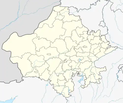 Udsar Location in Rajasthan, India  Udsar Udsar (India) | |
| Coordinates: 27°42′50″N 73°43′03″E / 27.7139°N 73.7174°E | |
| Country | |
| State | Rajasthan |
| District | Bikaner |
| Sub-District | Jasrasar |
| Government | |
| • Type | Panchayati Raj |
| • Body | Gram Panchayat |
| Area | |
• Total | 23.16 km2 (8.94 sq mi) |
| Population (2011)[1] | |
• Total | 2,404 |
| Language | |
| • Official Language | Hindi[2] |
| Time zone | UTC+5:30 (IST) |
| PIN | 334802 |
| Vehicle registration | RJ-50, RJ-07 |
Udsar is a village in Jasrasar Tehsil within the Bikaner district of the Indian state of Rajasthan.
Villagers primarily rely on agriculture, with some owning their own enterprises.
Demographics
As per the 2011 Census, the population numbered 2,404, including 1,254 males and 1,150 females. The Literacy rate was 48.21%.[3]
100% of the village follows Hinduism.[4]
Bagri, a dialect of Rajsthani, is the most spoken language, although the village administration uses Hindi.[6]
Transport
Udsar is near the Sikar-Nokha Highway, SH-20. The roads are in good condition. No railway services reaches the village. Inhabitants travel to Nokha or Bikaner for the train.[7]
References
- ^ ORGI. "Census of India : Provisional Population Totals Paper 1 of 2011 : Rajasthan".
- ^ "52nd Report of the Commissioner for Linguistic Minorities in India" (PDF). nclm.nic.in. Ministry of Minority Affairs. Archived from the original (PDF) on 25 May 2017. Retrieved 12 January 2021.
- ^ "Census of Siniyala village". Retrieved 28 November 2024.
- ^ censusindia.gov.in https://censusindia.gov.in/nada/index.php/catalog/11390/download/14503/DDW08C-01+MDDS.XLS.
{{cite web}}: Missing or empty|title=(help) - ^ "Table C-01 Population By Religion - Rajasthan". census.gov.in. Registrar General and Census Commissioner of India.
- ^ "Languages in Udsar village".
- ^ "Overview Of Bikaner Division" (PDF). nwr.indianrailways.gov.in. Retrieved 28 November 2024.