Tverregg Glacier
| Tverregg Glacier | |
|---|---|
.svg.png) Location of Queen Maud Land in Antarctica | |
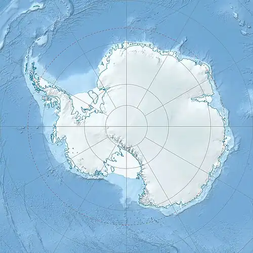 Location of Tverregg Glacier in Antarctica | |
| Location | Queen Maud Land |
| Coordinates | 73°27′S 03°36′E / 73.450°S 3.600°E |
| Thickness | unknown |
| Terminus | Kirwan Escarpment |
| Status | unknown |
Tverregg Glacier (73°27′S 3°36′W / 73.450°S 3.600°W) is a glacier between Heksegryta Peaks and Tverregga Spur in the Kirwan Escarpment, Queen Maud Land. Mapped by Norwegian cartographers from surveys and air photos by Norwegian-British-Swedish Antarctic Expedition (NBSAE) (1949–52) and additional air photos (1958–59), and named Tverreggbreen (the transverse ridge glacier).
See also
References
 This article incorporates public domain material from "Tverregg Glacier". Geographic Names Information System. United States Geological Survey.