Tullycarnan
Tullycarnan
| |
|---|---|
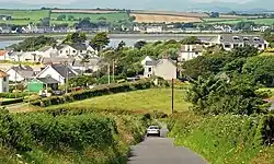 The Green Road, Tullycarnan, near Ardglass | |
 Tullycarnan Location within Northern Ireland 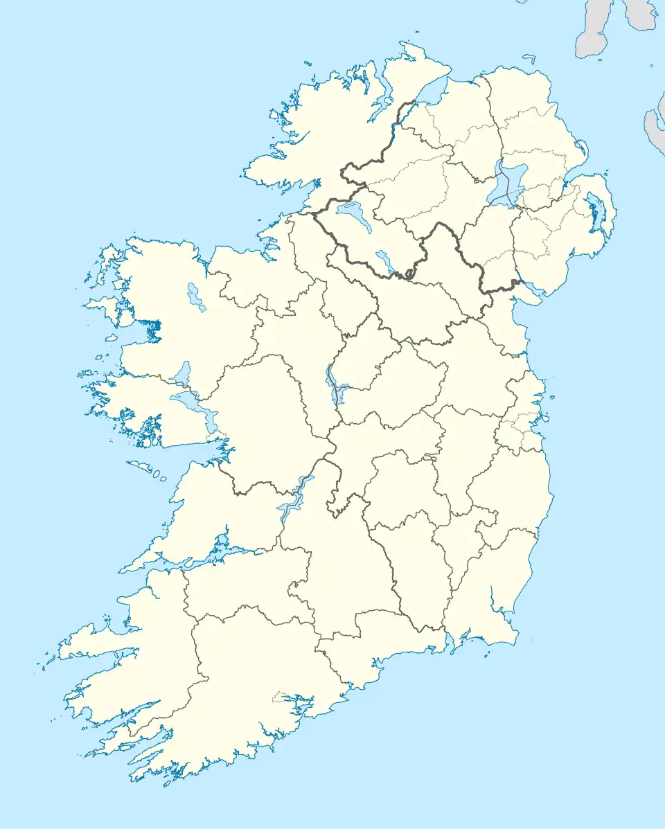 Tullycarnan Location within County Down 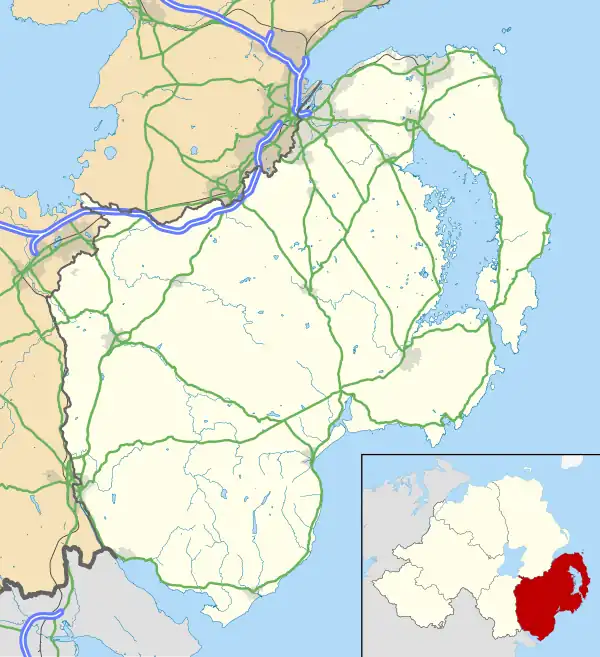 Tullycarnan Tullycarnan (County Down) | |
| Irish grid reference | J560370 |
| District |
|
| County |
|
| Country | Northern Ireland |
| Sovereign state | United Kingdom |
| Post town | DOWNPATRICK |
| Postcode district | BT30 |
| Dialling code | 028 |
| UK Parliament |
|
| NI Assembly |
|

Tullycarnan (from Irish Tulaigh Charnáin, meaning 'hillock of the little cairn') is a townland of 154 acres in County Down, Northern Ireland.[1] It is situated in the civil parish of Ardglass and the historic barony of Lecale Lower.[2]
The name of the townland of Tullycarnan has appeared in historical records under different spellings, including "Tolecarnan" in 1649 and "Tullycarmon" in 1795, both associated with the Ardglass area. The name is derived from the Irish Tulaigh Charnáin, meaning "hillock of the little cairn". A prominent hillock is located within the townland, overlooking Curlew Point.[3] However, there is currently no visible trace or documented record of a cairn at the site. Portions of the lower-lying land in Tullycarnan, similar to areas surrounding Killough Harbour, may have been reclaimed from a bay that historically extended further inland.[4]
Geography
Townlands that border Tullycarnan include:[5][4]
- Ardglass to the east
- Coney Island to the east
- Kildare's Crew to the west
- Ringfad to the east
References
- ^ "Tullycarnan Townland, Co. Down". Townlands.ie. Retrieved 7 August 2025.
- ^ "Tullycarnan". Ire Atlas Townlands Database. Retrieved 18 April 2015.
- ^ "Curlew Point – OS Six-Inch Ireland, 1829–1969". National Library of Scotland. 1903. Retrieved 8 August 2025.
Sheet 45 & 45A. Revised: 1900, Published: 1903.
- ^ a b ArcGIS Experience. PlacenamesNI.org – Tullycarnan, County Down. (Accessed 7 August 2025).
- ^ John Grenham. Tullycarnan in Ardglass civil parish, Down.(Accessed 7 August 2025).