Tsudik
Tsudik
Tsudik | |
|---|---|
Selo | |
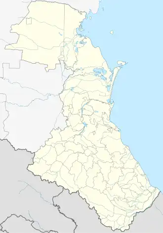 Tsudik Location in Dagestan  Tsudik Tsudik (Russia) | |
| Coordinates: 41°39′58″N 47°16′50″E / 41.66611°N 47.28056°E | |
| Country | Russia |
| Federal subject | Republic of Dagestan |
| District | Rutulsky District |
| Municipality | Myukhrek Rural Settlement |
| First mentioned | 1970 |
| Officially established | 1989 |
| Population (2021) | |
• Total | 442 |
| Time zone | +3 |
Tsudik (Rutulian: Tsudik) is a rural locality (a selo) in Rutulsky District, Republic of Dagestan, Russia. It is part of the Myukhrek Rural Settlement.
Geography
The village is located on the southern slope of the Samur Ridge, on the Myukhrek-Chay River (a tributary of the Lykhdy Samur), 20 km northwest of the district center, the village of Rutul.
History
It was officially recognized as a separate village by a decree of the Presidium of the Supreme Soviet of the Dagestan ASSR on 17 August 1989. Before this date, Tsudik was considered one of the quarters of the village of Myukhrek.[1]
Population
The village is mono-ethnic, inhabited by Rutulians.[2]
References
- ^ "Soviet topographic map K-38. Tbilisi, Yerevan, Grozny, Nalchik". etomesto.ru (in Russian). Retrieved 2022-02-28.
- ^ "Rutulsky District" (in Russian). Archived from the original on 2011-12-31. Retrieved 2012-04-12.