La Tournette
| La Tournette | |
|---|---|
.jpg) Lake Annecy with La Tournette in the background | |
| Highest point | |
| Elevation | 2,351 m (7,713 ft)[1] |
| Prominence | 1,514 m (4,967 ft)[1] |
| Isolation | 10.68 km (6.64 mi) |
| Listing | Ultra |
| Coordinates | 45°49′38″N 06°17′11″E / 45.82722°N 6.28639°E[1] |
| Geography | |
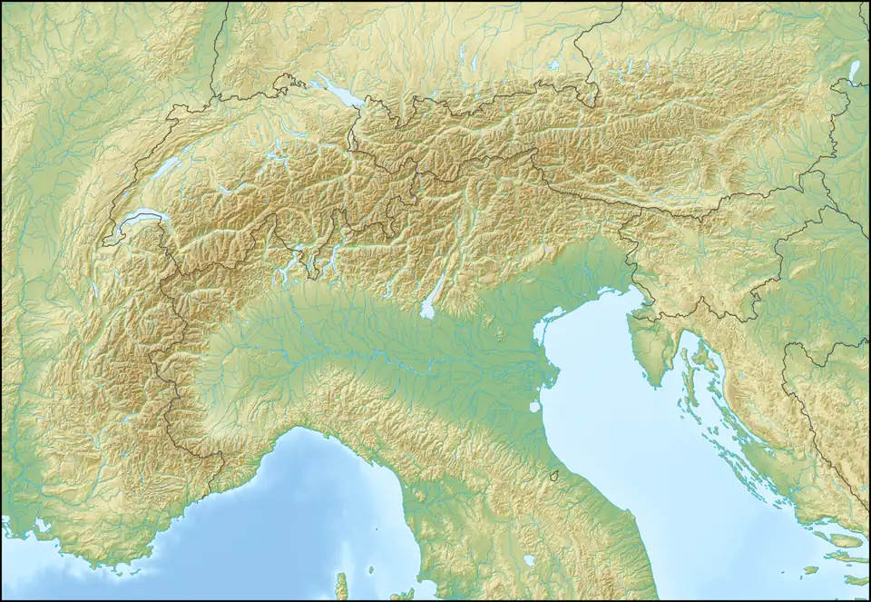 La Tournette Location in the Alps | |
| Location | Haute-Savoie, France |
| Parent range | Bornes Massif |
La Tournette (French pronunciation: [la tuʁnɛt]) (2,351 m or 7,713ft) is a mountain in the Bornes Massif in Haute-Savoie, France. It is the highest of the mountains surrounding Lake Annecy and has a prominence of 1,514 (4,967ft), qualifying it as an Ultra.
Tourism
The nearest trailhead to the summit is from the public car park at Prés Ronds. From Prés Ronds, the summit can be reached via a well-marked path in around four hours. The final part of the climb requires some scrambling. The summit consists of a boulder on which there are chains and two ladders to assist with ascending to the summit cross.
See also
References
- ^ a b c "Europe Ultra-Prominences". Peaklist.org. Retrieved 2012-10-29.
External links
Wikimedia Commons has media related to La Tournette.