Tori (Rampur)
Tori | |
|---|---|
village | |
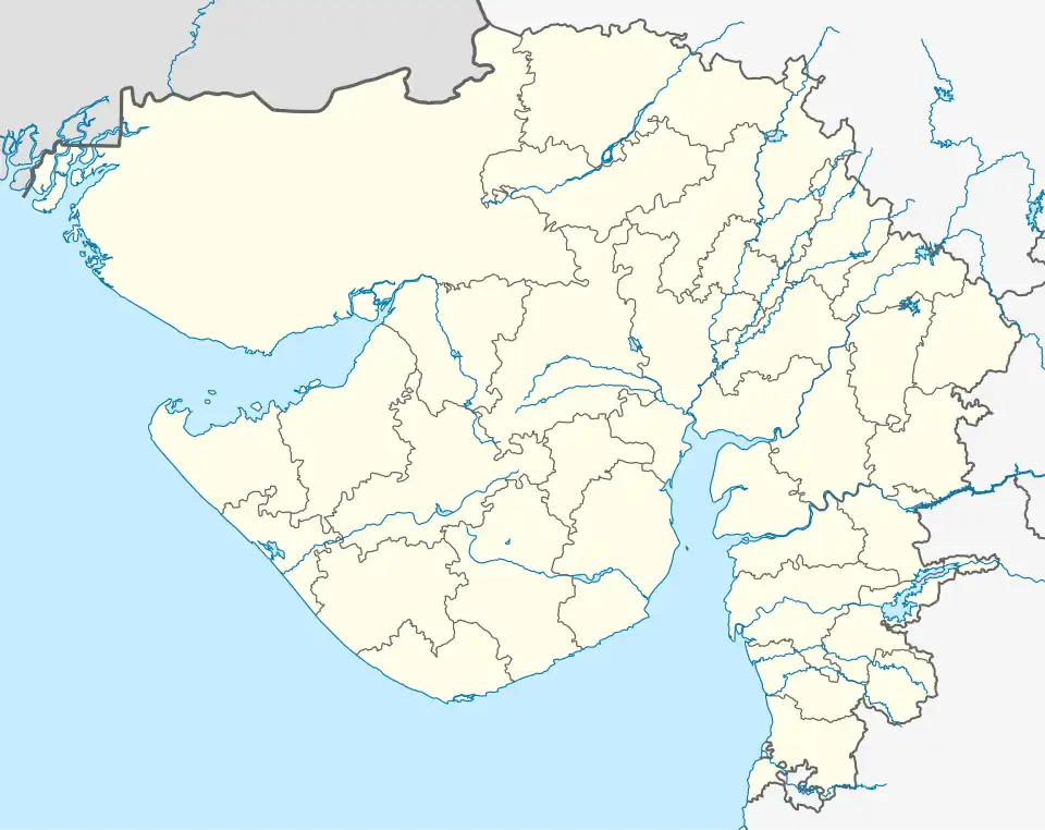 Tori Location in Gujarat, India  Tori Tori (India) | |
| Coordinates: 21°37′12.5″N 70°52′53.8″E / 21.620139°N 70.881611°E | |
| Country | |
| State | Gujarat |
| District | Amreli |
| Taluka | Kunkavav Vadia |
| Government | |
| • Body | Gram Panchayat |
| Elevation | 148 m (486 ft) |
| Population (2011) | |
• Total | 3,540 |
| Languages | |
| • Official | Gujarati, Hindi |
| Time zone | UTC+5:30 (IST) |
| PIN | 365480[1] |
| Telephone code | 02796 |
| Vehicle registration | GJ-14 |
| Nearest town | Bagasara (20 km) |
| Website | gujaratindia |
Tori is a village located near the Taluka headquarters of Kunkavav Vadia, in the Amreli district of the Indian state of Gujarat.[2] The village is situated in the southern part of Saurashtra region,(also known as Kathiawar), which became part of the Western Kathiawar Agency,from 1926 onwards.[3][4][5][6]
Geography
It is in a hilly and semi arid region of southern Saurashtra.The village is surrounded by small hills and dry plains. It lies near the Survo River and Shetrunji River, an important source of irrigation. However, seasonal flooding may occur during monsoon in low-lying areas.[7]
See also
References
- ^ "Tori Pin Code - 365480, All Post Office Areas PIN Codes, Search amreli Post Office Address". news.abplive.com.
- ^ TV, India. "Tori Pin Code | Postal Code (Zip Code) of Tori, Amreli, Gujarat, India". India TV News.
- ^ "Government of Gujarat". www.hubert-herald.nl.
- ^ "Saurashtra State – World Statesmen". WorldStatesmen.org. Retrieved 11 July 2025.
- ^ "Tori BO Pin Code of Tori locality of Gujarat - NDTV.com". www.ndtv.com.
- ^ web.archive, org. "NAME OF HABITATIONS IN YEARLY STATUS REPORT RURAL WATER SUPPLY PROGRAMME". Archived from the original on 24 July 2011. Retrieved 25 July 2011.
- ^ "Tori Population - Amreli, Gujarat".
External links
- e‑GramSwaraj – Know Your Panchayat at Village of Tori
- Gujarat eGram Project – List of Panchayats at Tori Village, Amreli
- Location on OpenStreetMap at Village of Tori