Tilligte
Tilligte | |
|---|---|
Village | |
 Simon and Judas Church | |
| Nickname(s): Waterpönskesdoarp (Water Bellies Village) | |
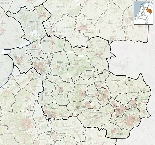
 The town centre (dark green) and the statistical district (light green) of Tilligte in the municipality of Dinkelland. | |
 Tilligte Location in the Netherlands 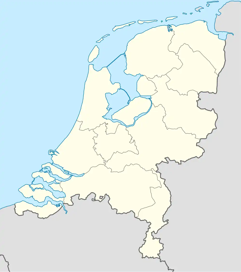 Tilligte Tilligte (Netherlands) | |
| Coordinates: 52°24′18″N 6°57′5″E / 52.40500°N 6.95139°E | |
| Country | Netherlands |
| Province | Overijssel |
| Municipality | Dinkelland |
| Area | |
• Total | 10.12 km2 (3.91 sq mi) |
| Elevation | 21 m (69 ft) |
| Population (2021)[1] | |
• Total | 770 |
| • Density | 76/km2 (200/sq mi) |
| Demonym | Tilligtenaren |
| Time zone | UTC+1 (CET) |
| • Summer (DST) | UTC+2 (CEST) |
| Postal code | 7634[1] |
| Dialing code | 0541 |
Tilligte is a rural village in the Dutch province of Overijssel. It is part of the municipality of Dinkelland and is situated approximately 10 km north of Oldenzaal.
IFirst mentioned in 1295 as Tilgde, which translates to "place where young oaks grow",[3] by 1840 it had a population of 463.[4]
The windmill in the village is called 'Westerveld Möl'. The church is called 'Simon en Judaskerk'. Another point of interest is the water inlet 't Schuivenhuisje at the Kanaal Almelo-Nordhorn.
Gallery
-
 Architectural monument
 -
 Architectural monument
 -
 Westerveld Möl
 -
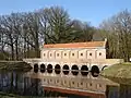 Schuivenhuisje
References
- ^ a b c "Kerncijfers wijken en buurten 2021". Central Bureau of Statistics. Retrieved 15 March 2022.
- ^ "Postcodetool for 7634PA". Actueel Hoogtebestand Nederland (in Dutch). Het Waterschapshuis. Retrieved 15 March 2022.
- ^ "Tilligte - (geografische naam)". Etymologiebank (in Dutch). Retrieved 15 March 2022.
- ^ "Tilligte". Plaatsengids (in Dutch). Retrieved 15 March 2022.