Thomas Mountain (Riverside County)
| Thomas Mountain | |
|---|---|
 A view of Thomas Mountain from the Anza Valley | |
| Highest point | |
| Elevation | 6,815 ft (2,077 m) |
| Geography | |
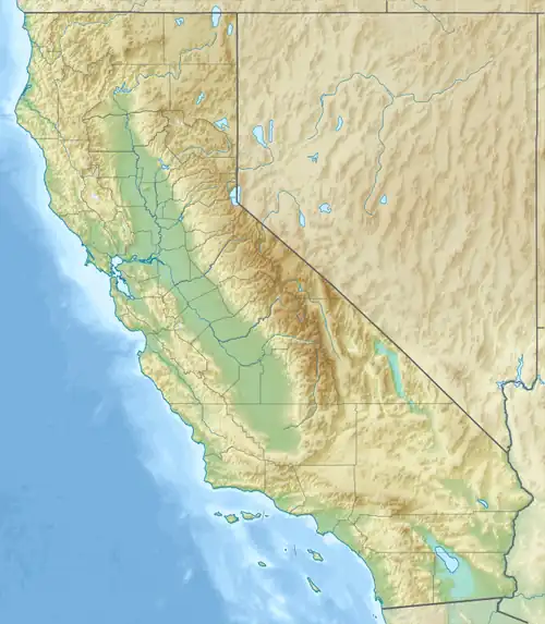 Thomas Mountain location of Thomas Mountain in California[1]  Thomas Mountain Thomas Mountain (the United States) | |
| Country | United States |
| State | California |
| County | Riverside County |
| Range coordinates | 33°37′16.93″N 116°40′57.37″W / 33.6213694°N 116.6826028°W |
| Parent range | Peninsular Ranges |
Thomas Mountain is a mountain summit of the Peninsular Ranges System, in Riverside County, California.[1]
Geography
Thomas Mountain forms the north boundary of the Anza Valley. The community of Thomas Mountain, California, named after the summit, is located on the east side of the mountain. Bautista Canyon lies between Thomas Mountain and Cahuilla Mountain.
History
Thomas Mountain was the site of Thomas Mountain Lookout, a fire tower and residence. It was built in 1935, and used during World War II as a plane spotting post. After suffering damage from fire and also vandalism, it was demolished and scrapped in 1973.[2] [3]
See also
- Mountains of Riverside County, California
References
- ^ a b "Thomas Mountain". Geographic Names Information System. United States Geological Survey, United States Department of the Interior.
- ^ Thomas Mountain Lookout Site from firepower.org accessed February 6, 2025.
- ^ "65 years ago - 1959". Idyllwild Town Crier. 2024-09-04. Retrieved 2025-02-06.
External links