The Hollands
| The Hollands | |
|---|---|
 Top Road near Biddulph Moor. The Hollands is down the road on the right. | |
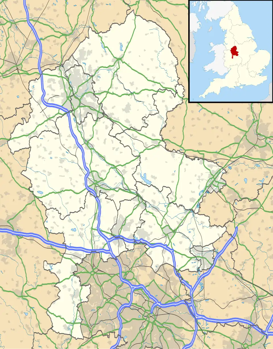 The Hollands Location within Staffordshire | |
| OS grid reference | SJ912593 |
| Civil parish | |
| District | |
| Shire county | |
| Region | |
| Country | England |
| Sovereign state | United Kingdom |
| Post town | STOKE-ON-TRENT |
| Postcode district | ST8 |
| Police | Staffordshire |
| Fire | Staffordshire |
| Ambulance | West Midlands |
| UK Parliament | |
The Hollands is a hamlet[1] in the Staffordshire Moorlands district of the county of Staffordshire, England.[2] It is located midway between Biddulph, Leek, Macclesfield and Stoke-on-Trent.[3] The hamlet is located west of Top Road, which runs between Biddulph Moor and Rushton.
Geography
The Hollands is located at the western edge of the Peak District and close to the borders of Cheshire and Derbyshire. The closest towns are Biddulph, Buxton, Congleton, Leek, Macclesfield and Uttoxeter. The closest cities are Derby, Manchester, Liverpool, Salford and Stoke-on-Trent.
Amenities
The hamlet consists of a number of private residences and some farms.[4] The road, also known as "The Hollands" is a dead-end farm track.
References
- ^ "The Hollands, Staffordshire (Hamlet)". gazetteer.org.uk. Retrieved 16 August 2025.
- ^ "The Hollands photos, maps, books, memories - Francis Frith". www.francisfrith.com. Retrieved 16 August 2025.
- ^ Foxall, Mrs T. (December 2014). "LITTLE KNOWLES FARM, BIDDULPH MOOR, STAFFORDSHIRE. PRELIMINARY ECOLOGICAL APPRAISAL". staffsmoorlands.gov.uk. Retrieved 17 August 2025.
- ^ StreetCheck. "Interesting Information for The Hollands, Biddulph Moor, Stoke-On-Trent, ST8 7LE Postcode". StreetCheck. Retrieved 16 August 2025.