Tguma
| Tguma | |
|---|---|
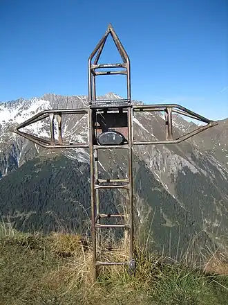 Summit | |
| Highest point | |
| Elevation | 2,163 m (7,096 ft) |
| Prominence | 164 m (538 ft)[1] |
| Parent peak | Lüschgrat |
| Coordinates | 46°43′07.6″N 9°21′21.6″E / 46.718778°N 9.356000°E |
| Geography | |
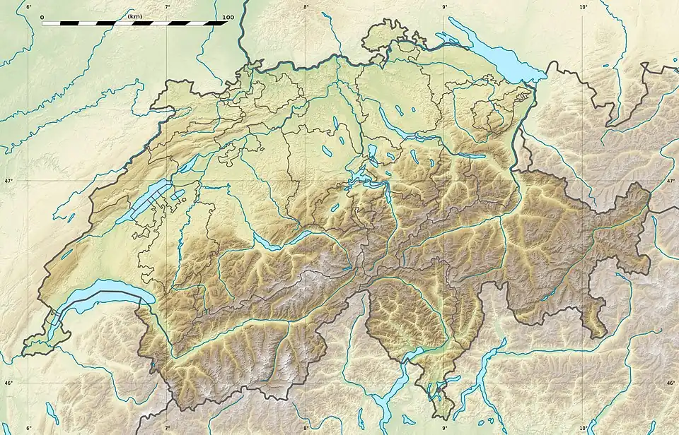 Tguma Location in Switzerland | |
| Location | Graubünden, Switzerland |
| Parent range | Lepontine Alps |
The Tguma is a mountain of the Swiss Lepontine Alps, situated west of Thusis in the canton of Graubünden. It lies on the range between the Safiental and the Domleschg.
References
External links
 Media related to Tguma at Wikimedia Commons
- Tguma on Hikr