Tanjung Harapan, Paser
Tanjung Harapan | |
|---|---|
OpenStreetMap | |
 Tanjung Harapan 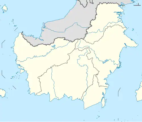 Tanjung Harapan 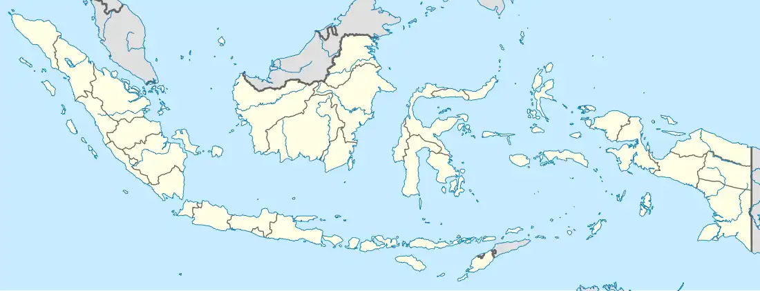 Tanjung Harapan | |
| Coordinates: 2°11′48.1704″S 116°35′24.8964″E / 2.196714000°S 116.590249000°E | |
| Country | |
| Province | |
| Regency | |
| District seat | Tanjung Aru |
| Area | |
• Total | 714.05 km2 (275.70 sq mi) |
| Population (2023) | |
• Total | 10,410 |
| • Density | 15/km2 (38/sq mi) |
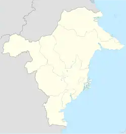
Tanjung Harapan is a district in Paser Regency, East Kalimantan Province, Indonesia.[1] The district covers an area of 714.05 km2, including the offshore islands of Batukapal Island, Burung Island, and Merayap Island, and had a population of 10,410 at the 2023 estimate.[2]
Governance
Villages
Tanjung Harapan consists of seven village (desa):
- Keladen
- Tanjung Aru
- Labuangkallo
- Lori
- Selengot
- Random
- Senipah
References
- ^ Kementerian Dalam Negeri Indonesia (2018-12-29). Permendagri No. 137 Tahun 2017.
- ^ BPS, Paser, 2024-09-26, "Tanjung Harapan District in Figures 2024". (Catalogue: 1102001.6401022).paserkab.bps.go.id