Tây Sơn district
Tây Sơn district
Huyện Tây Sơn | |
|---|---|
 Tây Sơn district | |
| Coordinates: 13°55′01″N 108°55′01″E / 13.917°N 108.917°E | |
| Country | |
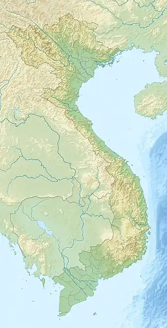
| Region | South Central Coast |
| Province | Bình Định (From 01/07/2025: Gia Lai) |
| Capital | Phú Phong |
| Area | |
• Total | 690 km2 (270 sq mi) |
| Population (2024)[1] | |
• Total | 210,700 |
| • Density | 310/km2 (790/sq mi) |
| Time zone | UTC+7 (Indochina Time) |
Tây Sơn is a former district Bình Định Province, Vietnam (now part of Gia Lai Province). It is known for being the birthplace of the Tây Sơn dynasty - the pride of the people of Bình Định.
The district capital lies at Phú Phong.[2]
As of July 1, 2025, Tây Sơn District will be officially dissolved and reorganized into communes under Gia Lai Province.
Geography
Tây Sơn District is located in the western part of Bình Định Province. It is the starting point of a vast plain on the basins of the Kôn and Hà Thanh rivers. The district has no coastline and is geographically bordered as follows:
- To the east: An Nhơn Town and Phù Cát District
- To the west: Đak Pơ District, Kông Chro District, and An Khê Town of Gia Lai Province
- To the south: Vân Canh District
- To the north: Vĩnh Thạnh District
Tây Sơn District covers a natural area of 692.96 km² with a population of 176,600 people.
The district’s climate belongs to the tropical monsoon type, with two main seasons: the dry season from March to October and the rainy season from November to February. The rainy season here is often accompanied by cold weather and high humidity, while the dry season usually brings intense heat. The record low temperature ever recorded was 13 °C, and the highest was 39 °C.
The Kôn River flows through the district in a southeast direction, from Vĩnh Thạnh District to An Nhơn Town. The district capital is Phú Phong Town, located on the banks of the Kôn River, about 40 km from Quy Nhơn City and 20 km from Phù Cát Airport, with National Highways 19 and 19B running through it. An Khê Pass, on National Highway 19, also forms the boundary between Tây Sơn District and An Khê Town of Gia Lai Province.
Transport and economy
Most of the communes of Tây Sơn District lie on provincial road 19.
References
- ^ Bình Định Statistics Office (2010): Bình Định Statistical Yearbook 2009. Statistical Publishing House, Hanoi
- ^ "Districts of Vietnam". Statoids. Retrieved March 13, 2009.
Districts of the South Central Coast of Vietnam | ||
|---|---|---|
| Da Nang city | 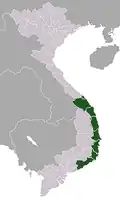 | |
| Bình Định province | ||
| Bình Thuận province | ||
| Khánh Hòa province |
| |
| Ninh Thuận province | ||
| Phú Yên province | ||
| Quảng Nam province | ||
| Quảng Ngãi province | ||
※ denotes provincial seat. / § Sovereignty over the Hoàng Sa and Trường Sa archipelagoes is disputed as of 21 August 2025. | ||