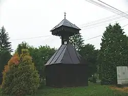
Szentpéterfölde
Szentpéterfölde | |
|---|---|
Village | |
 | |
 Flag  Coat of arms | |
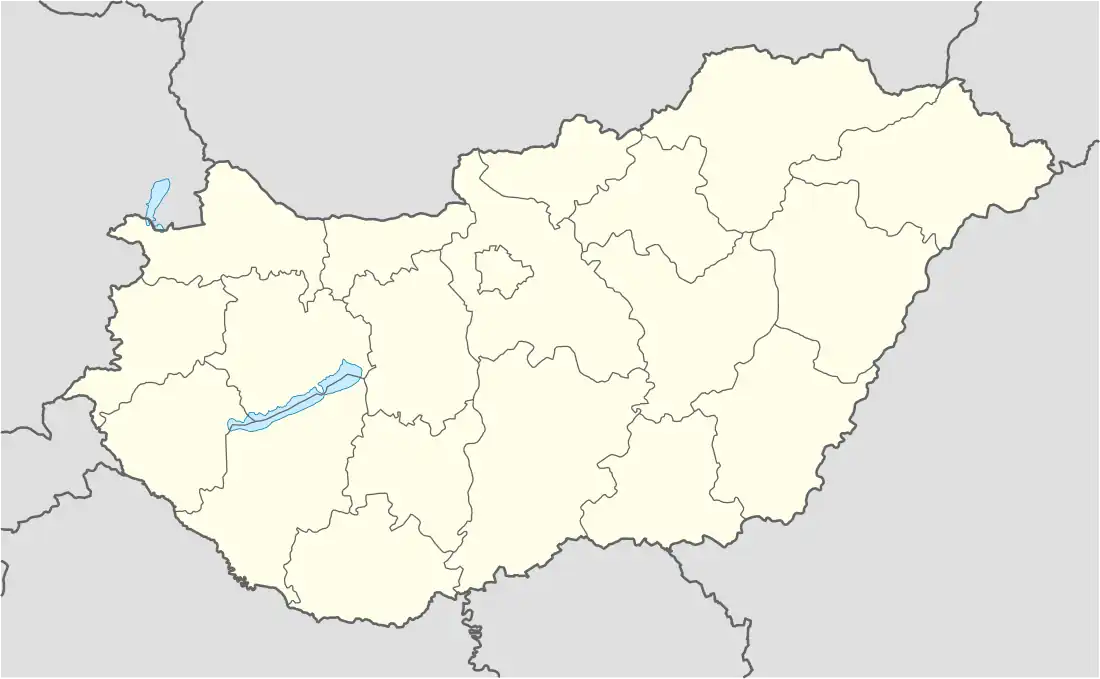 Szentpéterfölde Location of Szentpéterfölde | |
| Coordinates: 46°36′59″N 16°45′26″E / 46.616261°N 16.75735°E | |
| Country | Hungary |
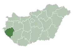
| Region | Western Transdanubia |
| County | Zala |
| District | Zalaegerszeg |
| Area | |
• Total | 12.12 km2 (4.68 sq mi) |
| Population (1 January 2024)[1] | |
• Total | 107 |
| • Density | 8.8/km2 (23/sq mi) |
| Time zone | UTC+1 (CET) |
| • Summer (DST) | UTC+2 (CEST) |
| Postal code | 8953 |
| Area code | (+36) 92 |
| Website | szentpeterfolde |
Szentpéterfölde is a village in Zala County, Hungary.[2]
References
- ^ "Szentpéterfölde". Detailed Gazetteer of Hungary. 23 September 2024. Retrieved 23 September 2024.
- ^ Hungarian Central Statistical Office
.svg.png)