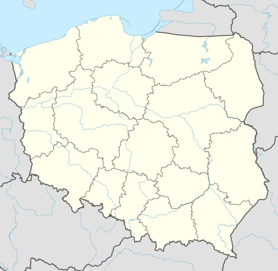
Stolno, Kuyavian-Pomeranian Voivodeship
Stolno | |
|---|---|
Village | |
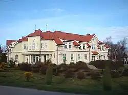 Gmina office in Stolno | |
 Stolno | |
| Coordinates: 53°19′18″N 18°30′22″E / 53.32167°N 18.50611°E | |
| Country | |
| Voivodeship | Kuyavian-Pomeranian |
| County | Chełmno |
| Gmina | Stolno |
| Population | |
• Total | 830 |
| Time zone | UTC+1 (CET) |
| • Summer (DST) | UTC+2 (CEST) |
| Vehicle registration | CCH |
| National roads | |
| Voivodeship roads | |
Stolno [ˈstɔlnɔ] is a village in Chełmno County, Kuyavian-Pomeranian Voivodeship, in north-central Poland.[1] It is the seat of the gmina (administrative district) called Gmina Stolno. It is located in Chełmno Land within the historic region of Pomerania.
There are several bunkers and forts from World War I in Stolno.
Transport
Stolno is located at the intersection of Polish National roads 55 and 91 and the Voivodeship road 548.
References
- ^ "Główny Urząd Statystyczny" [Central Statistical Office] (in Polish). To search: Select "Miejscowości (SIMC)" tab, select "fragment (min. 3 znaki)" (minimum 3 characters), enter town name in the field below, click "WYSZUKAJ" (Search).
| Seat |  | |
|---|---|---|
| Other villages | ||