Steinslandsvatnet
| Steinslandsvatnet | |
|---|---|
 Steinslandsvatnet Location of the lake Show map of Vestland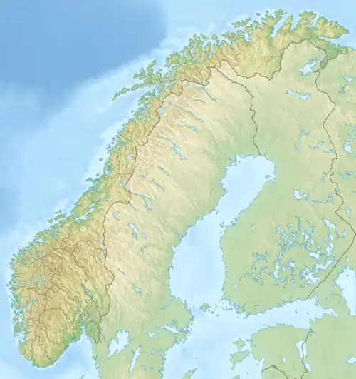 Steinslandsvatnet Steinslandsvatnet (Norway) Show map of Norway | |
| Location | Modalen, Vestland |
| Coordinates | 60°53′38″N 5°58′38″E / 60.89389°N 5.97722°E / 60.89389; 5.97722 |
| Basin countries | Norway |
| Max. length | 7.4 kilometres (4.6 mi) |
| Max. width | 600 metres (2,000 ft) |
| Surface area | 2.4 km2 (0.93 sq mi) |
| Shore length1 | 14.07 kilometres (8.74 mi) |
| Surface elevation | 120 metres (390 ft) |
| References | NVE |
| 1 Shore length is not a well-defined measure. | |
Steinslandsvatnet is a lake in the municipality of Modalen in Vestland county, Norway. The 2.4-square-kilometre (0.93 sq mi) lake is the headwaters of the river Moelva in the center of the Modalen valley. The village of Øvre Helland lies at the southern end of the lake. The Norwegian county road 345 runs along the western shoreline of the lake.[1]
See also
References
- ^ Store norske leksikon. "Modalselva" (in Norwegian). Retrieved 2014-03-20.
This article is issued from Wikipedia. The text is available under Creative Commons Attribution-Share Alike 4.0 unless otherwise noted. Additional terms may apply for the media files.